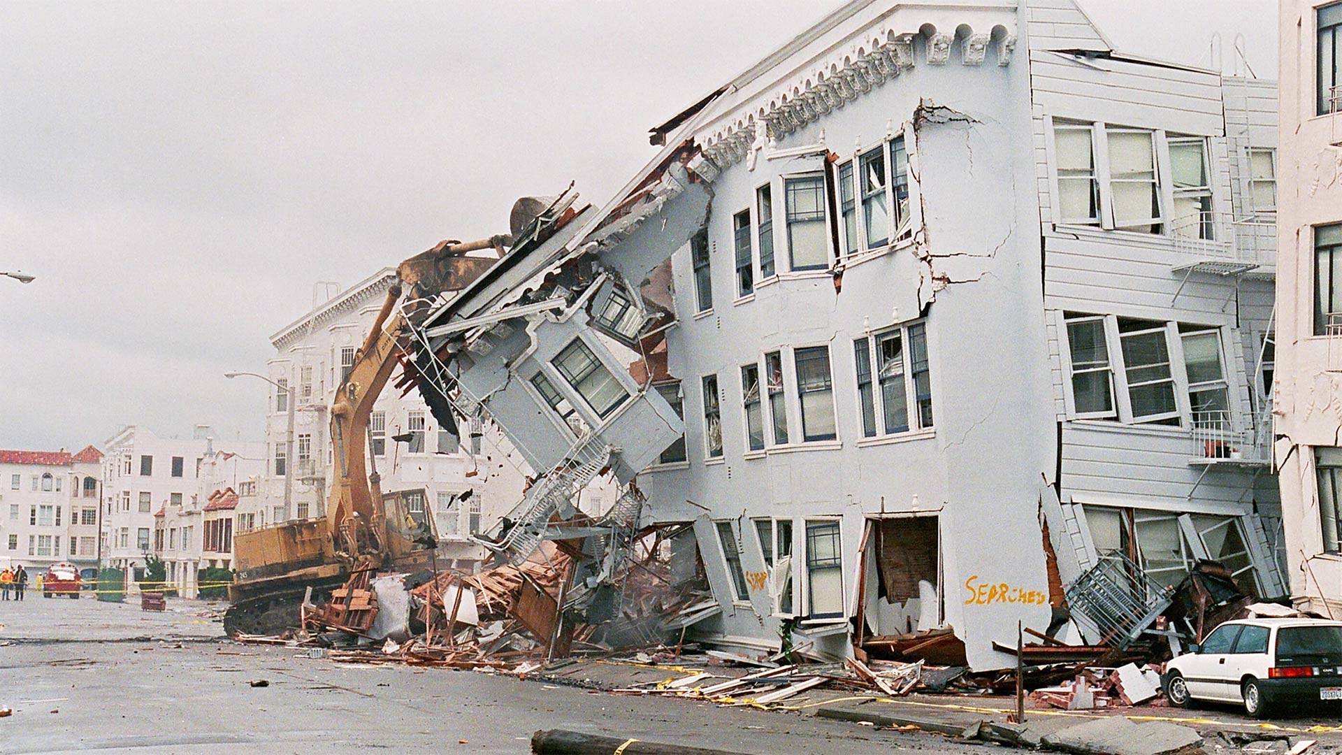
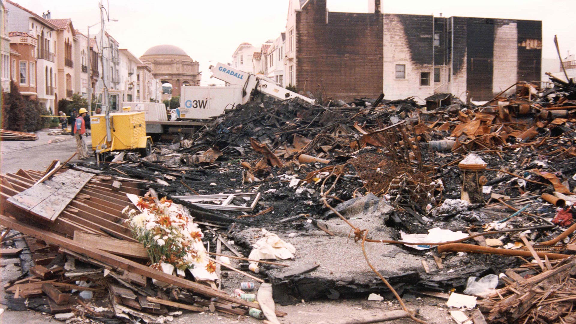
On Tuesday, Oct. 17, 1989, as evening rush hour was getting underway, a 6.9 magnitude earthquake with an epicenter near the Loma Prieta peak of the Santa Cruz Mountains shook the entire Bay Area. The quake killed at least 63 people and injured about 3,700. After the quake, thousands of buildings became uninhabitable, including dozens in San Francisco’s Marina District. Below are photos of what four locations in the neighborhood looked like both after the quake and today.
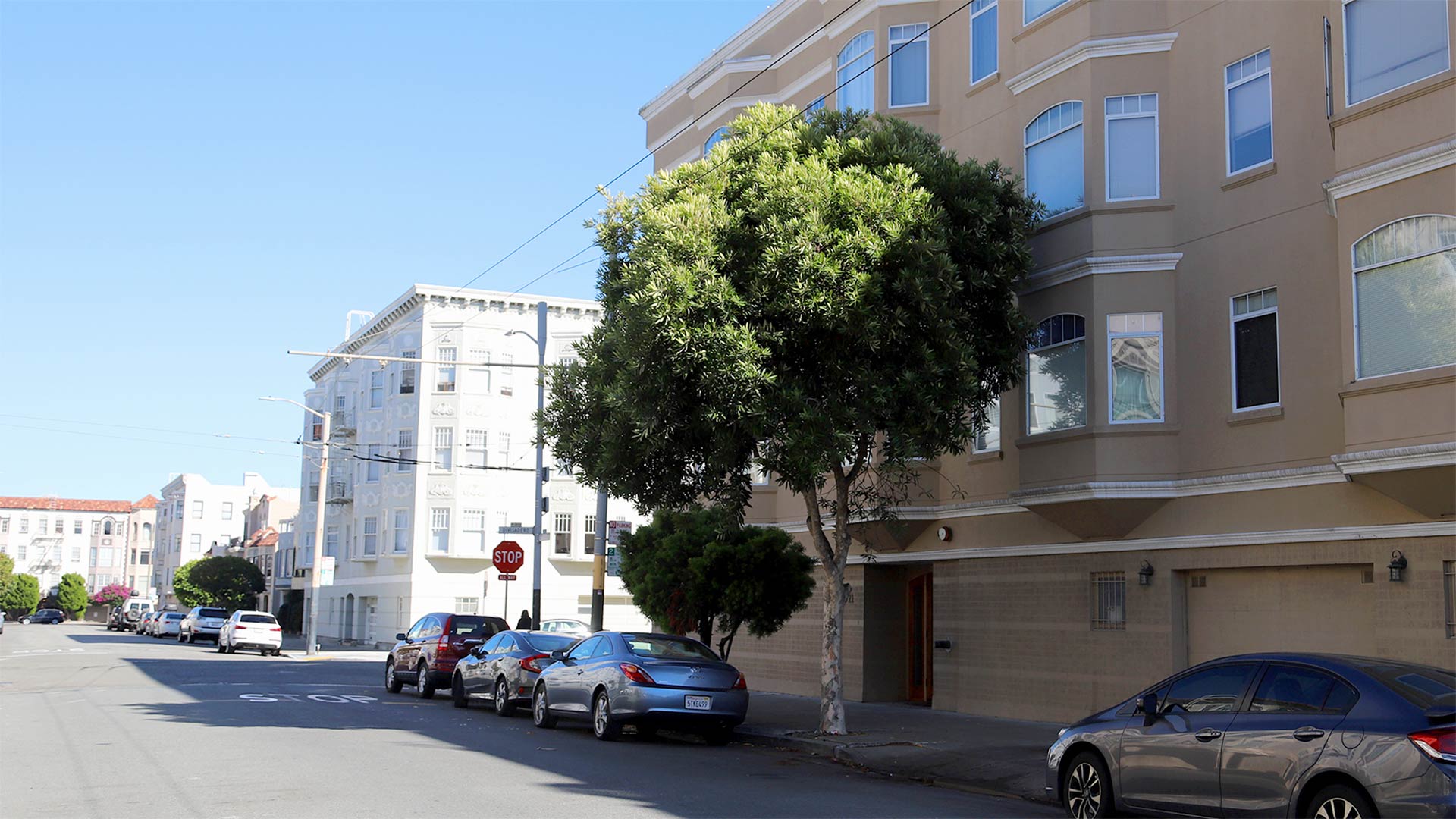
Divisadero north of Beach Street
|
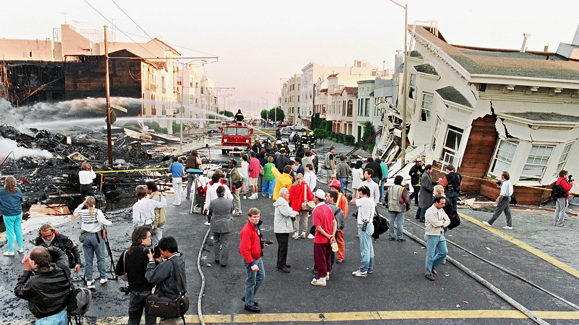 |
| Oct. 21, 1989. Photo by Getty |
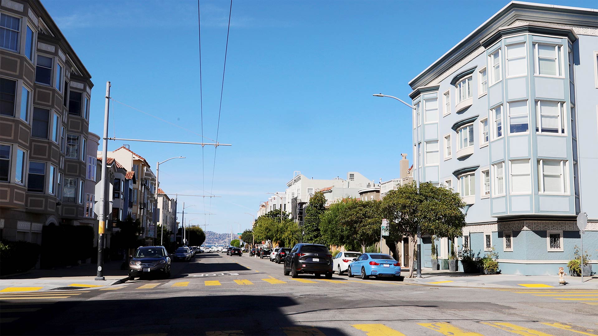 |
| Oct. 4, 2019. Photo by Lindsey Moore |
|
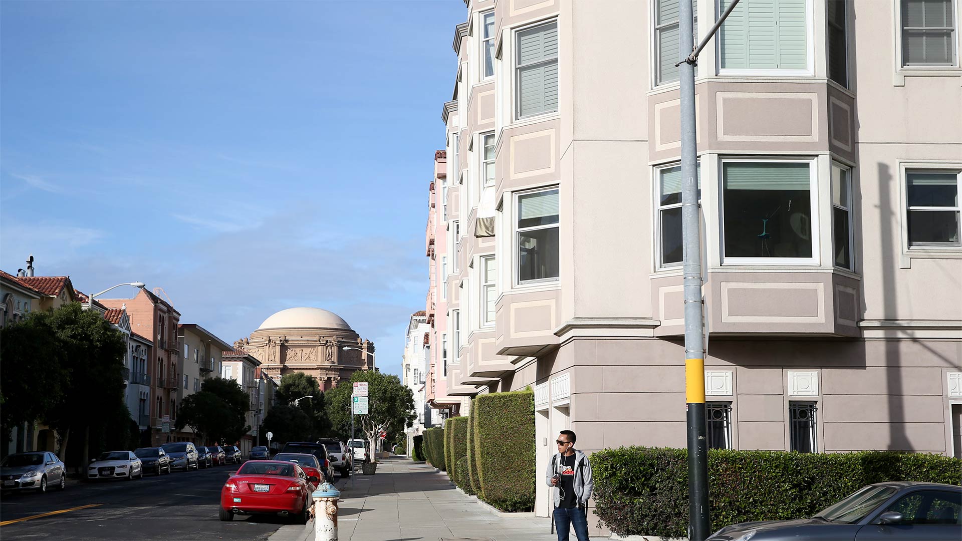
Fillmore Street near Cervantes Boulevard
|
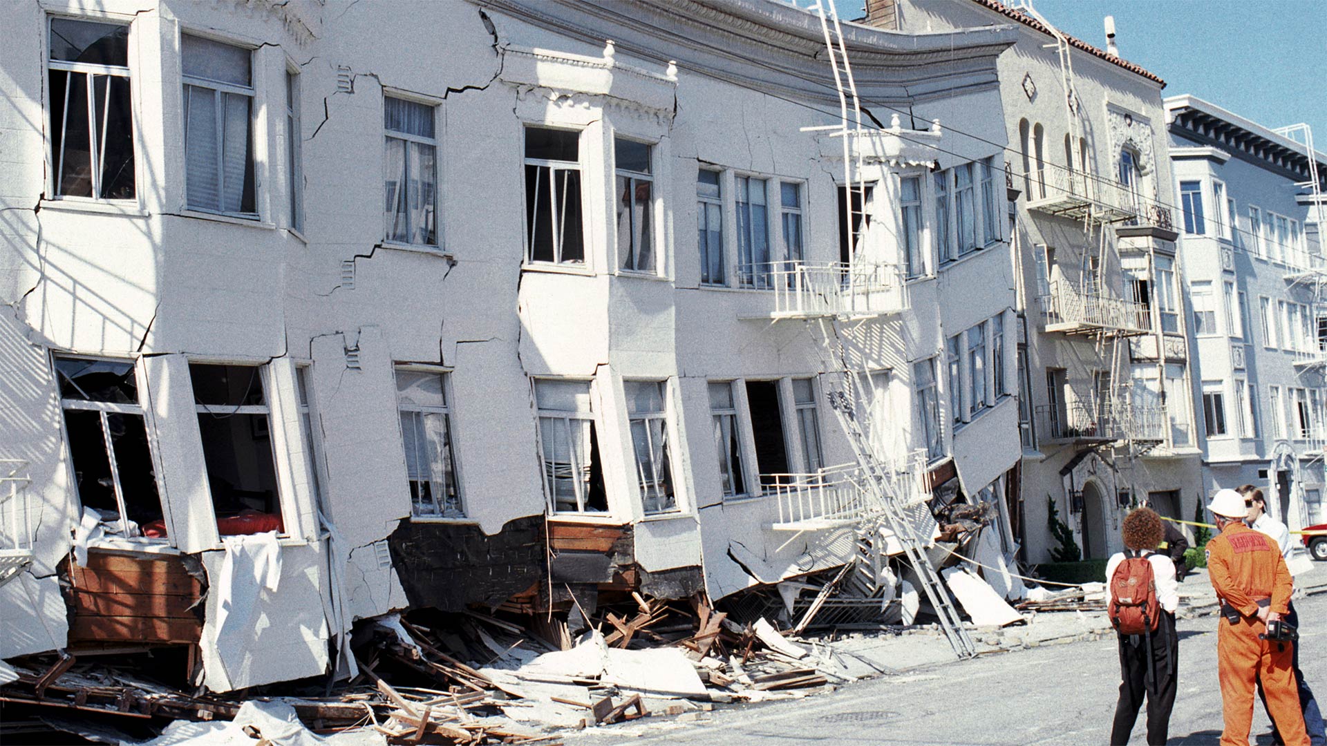 |
| Oct. 17, 1989. Photo by Getty |
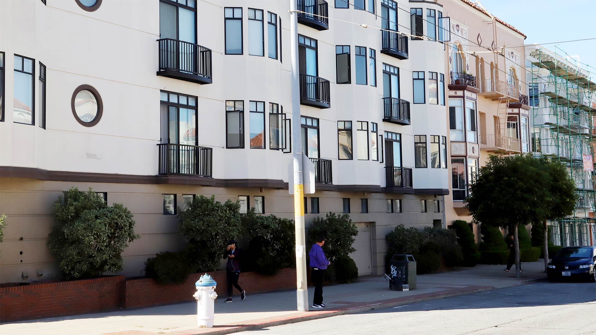 |
| Oct. 4, 2019. Photo by Lindsey Moore |
|
Corner of Jefferson and Divisadero streets
|
 |
| Oct. 21, 1989. Photo by Getty |
 |
| Oct. 4 2019. Photo by Lindsey Moore |
|
Corner of Beach and Divisadero streets
|
 |
| Oct. 17, 1989. Photo by Getty |
 |
| Oct. 15, 2019. Photo by Getty. |
|