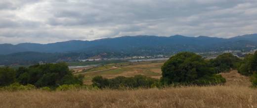
Deer Island Preserve, east of Novato in Marin County, doesn’t really look like an island, at least in the fact that it’s not surrounded by a body of water. The open space more closely resembles a hill covered in dry, golden grass with dots of oak and bay trees. Trails to the top of the preserve offer a view of what once was thousands of acres of wetlands by the San Pablo Bay.
“Deer Island was a really beautiful hill surrounded by tidal water with birds, fish and other wildlife,” says Marin County Flood Control District senior engineer Roger Leventhal. “What you see down here would have been subject to the daily tides.”
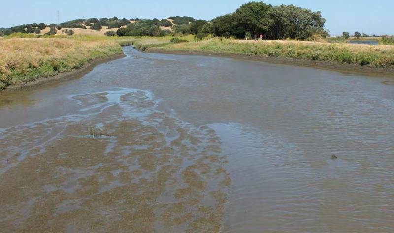
The former marsh below, its tributaries and the stream that historically fed it — Novato Creek — is mostly dried up now. But if you look hard you can still see a sliver of the creek.

Leventhal says over time the creek has filled with sediment, which would have naturally flowed into the San Pablo Bay if farmers and ranchers hadn’t built levees and drained the wetlands over 150 years ago.
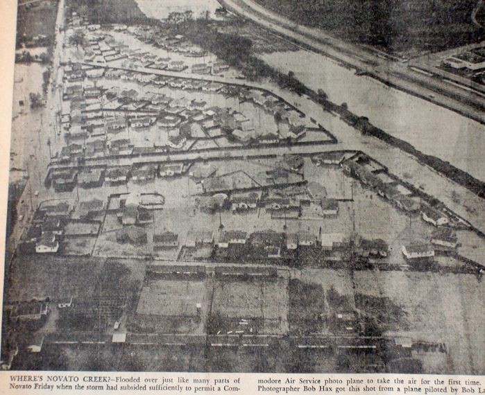
But since they did, this tidal basin has degraded and subsided. Now it’s subject to flooding for almost half the year, according to a Marin County Flood Control District report. Leventhal says vital infrastructure like the flood-prone Highway 37, the SMART rail line and parts of downtown Novato are at risk. In fact, Novato Creek has flooded the city more than a dozen times since the wetlands were drained.

