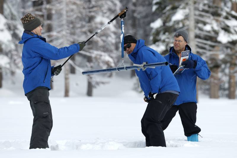
This winter’s promising start was aided by a spate of strong storms last month, most notably on New Year’s Eve, when much of the state was drenched in heavy rain causing floods that killed one person and damaged a levee system in Sacramento County.
That storm was warmer, so it brought more rain than snow. Two more powerful storms are expected to hit the state this week, and these will be much colder. The National Weather Service says the mountains could get up to 5 feet of snow between the two storms.
While the precipitation seemed out of character for the parched state, it reflects the type of rainfall the state would expect to see during a normal winter but that has been absent in recent drought-driven years.
In Southern California, weather forecasters said “all systems go” for a major storm to sweep over the area Wednesday and Thursday, with peak intensity occurring from midnight to noon Thursday.
Strong winds will add to impressive storm dynamics “setting the stage for a massive rainfall event” across south-facing coastal mountains, especially the Santa Ynez range in Santa Barbara and Ventura counties, forecasters said.
That could cause dangerous conditions. On Jan. 9, 2018, the community of Montecito in the foothills of the Santa Ynez Mountains was ravaged by a massive debris flow that killed 23 people when a downpour fell on a fresh wildfire burn scar.
The storms in California still aren’t enough to officially end the drought, now entering its fourth year. The U.S. Drought Monitor showed that most of the state is in severe to extreme drought. Most of the state’s reservoirs are still well below their capacity, with Lake Shasta 34% full and Lake Oroville just 38% full. It takes even longer for underground aquifers to refill, with groundwater providing about 38% of the state’s water supply each year.

