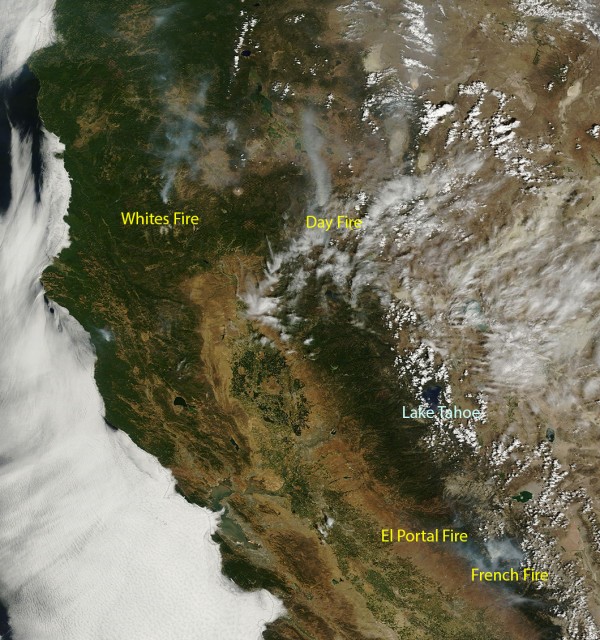
Update, Sunday 4 p.m.: Here are links to NASA satellite images from the weekend:
Saturday, Aug. 2: NASA Aqua Earth Observing System image, via Worldview.
Sunday, Aug. 3: NASA Terra Earth Observing System image, via Worldview.
Original post: NASA, that space agency we all pay for, has a multitude of satellites up there in orbit on all sorts of missions, including probes checking out the sun, the moon, our sister planets, the borders of the solar system, scanning for faraway worlds circling distant stars, and telescopically looking deep into the universe and our cosmic past. And many NASA satellites are trained right here on home ground, the Earth.
Two of the agency's Earth-observing satellites, Terra and Aqua, capture images of our planet's entire surface every day or so. The pictures are unfailingly stunning — it turns out you can have a love affair with an entire planet (at least when it's seen at a distance).
