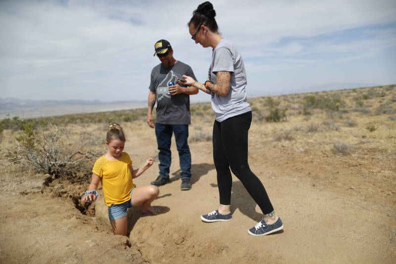
A magnitude 6.4 foreshock was followed the next day by a magnitude 7.1 mainshock and then more than 100,000 aftershocks.
Zachary Ross, assistant professor of geophysics at Caltech and lead author of the paper, said in a statement that it was one of the most well-documented earthquake sequences in history.
Ross developed automated computer analysis of seismometer data to detect the huge number of aftershocks with precise location information, Caltech and JPL said in a press release.
The JPL scientists mapped surface ruptures of the faults with data from Japanese and European Space Agency radar satellites.
“I was surprised to see how much complexity there was and the number of faults that ruptured,” said Eric Fielding, a co-author of the study from JPL.
About 20 previously unknown crisscrossing faults were involved.
Ross said the 6.4 quake simultaneously broke faults at right angles to each other, which he characterized as surprising.
It was a commonly held idea that major earthquakes are caused by rupture of single long fault, but that has been reconsidered since a 1992 quake in the desert near Landers, California, ruptured several faults.
The Ridgecrest sequence adds evidence of a more complex process.
“It’s going to force people to think hard about how we quantify seismic hazard and whether our approach to defining faults needs to change,” Ross said. “We can’t just assume that the largest faults dominate the seismic hazard if many smaller faults can link up to create these major quakes.”
The study was published on the 30th anniversary of the deadly magnitude 6.9 Loma Prieta earthquake that badly damaged the San Francisco Bay area.
Gov. Gavin Newsom marked the occasion by formally announcing the launch of the nation’s first statewide earthquake early warning system.
Alerts previously were made available to schools, government agencies, industries and industries but not the general public, except in Los Angeles County where an app-based system has been in use since January.
The ShakeAlert system that has been under development by the U.S. Geological Survey and science institutions for years will now push alerts to cellphones through an app developed by the University of California, Berkeley, and the Wire Emergency Alert system.
ShakeAlert uses hundreds of seismic sensor stations to detect the start of an earthquake, calculate its location and strength and generate alerts that the app and WEA system send to phones in areas that are expected to have significant shaking.
The intent is to provide seconds or tens of seconds in which people can protect themselves before shaking arrives at their location.
