upper waypoint

Bay Area Braces for Last Day of Record-Breaking ‘Aug-tober’ Heat Wave

Save ArticleSave Article
Failed to save article

Please try again

Two women play in the water at Shadow Cliffs Regional Recreation Area in Pleasanton, California, on Aug. 17, 2015. The record-breaking heat wave that gripped the Bay Area for over a week has begun to ease, with relief expected inland early this week. (Jeff Chiu/AP Photo)

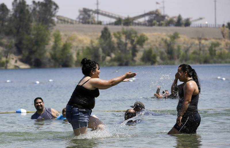
It’s day eight of the “Aug-tober” heat wave that’s baked the entire Bay Area with record-breaking temperatures from Ocean Beach to inland valleys, and the end is finally near.

“The longevity and the actual magnitude of the heat wave is pretty uncommon,” said Roger Gass, a meteorologist with the National Weather Service’s Bay area office.

Sunday was particularly hot, and the weather service reports that the heat shattered daily high-temperature records across the region, including records that had stood since 1930 in Santa Rosa, Napa and Kentfield.

Sponsored

Gass said some relief is on the way as temperatures gradually decrease this week, with the possibility of light rain by the weekend in the north.

“We were forecasting it to be warm, but the widespread-ness of the heat is what caught us off guard,” Gass said.

The average number of heat waves in the U.S. has doubled since the 1980s, partly because of human-caused climate change caused by burning fossil fuels.

Gass expects another day of record-breaking heat with temperatures nearing the triple digits for much of the inland Bay Area on Monday.

“We’ll definitely break a few,” Gass said.

Temperatures will “slightly cool” along the coast, Gass said, allowing the agency to drop its excessive heat warning. However, a heat advisory is in effect for much of the Bay Area.

Forecasters expect the heat wave to break on Tuesday as temperatures decrease by nearly 15 degrees in coastal areas. Gass said cities like San Francisco will get a necessary reprieve from days of nearly triple-digit heat.

“The heat wave will meet an abrupt end tomorrow as we expect temperatures in the city to cool to around 71 or 72 and the bay shoreline to be in the upper 70s to low 80s,” Gass said.

After over a week of blazing hot days, fire danger is still quite high across the region. But Gass said a lack of wind has helped decrease the potential spread of fires that start.

“Grasses and soil are very dry, so try not to do anything that would start a fire,” he said.

As temperatures cool into the 70s for much of the Bay Area as the week lingers, a cold front could bring a chance of rain in the North Bay. But Gass is hesitant to say the upcoming cooldown is the end of October’s heat because temperatures look to be “above average” for the next two weeks.

“It’s just too early to tell,” he said.

lower waypoint
next waypoint