Manual surveys on Thursday confirmed concerns over the withering mountain snowpack — a critical source of water for millions of Californians. Statewide, water content in the Sierra’s accumulated snows is an anemic 25 percent of the average for this time of year.
That’s despite a really soggy December in which some California cities got nearly three times their normal rainfall — and rainfall is the operative word. But those storms weren’t cold enough to deliver much snow to the middle elevations. 2014 went down as California’s warmest year on record.
“The temperature side of things should not be neglected here, says climatologist Kelly Redmond, who has been tracking patterns in the Sierra for 25 years at the Western Regional Climate Center in Reno. “It has its own consequences that sort of stack on top of the precipitation deficits.”
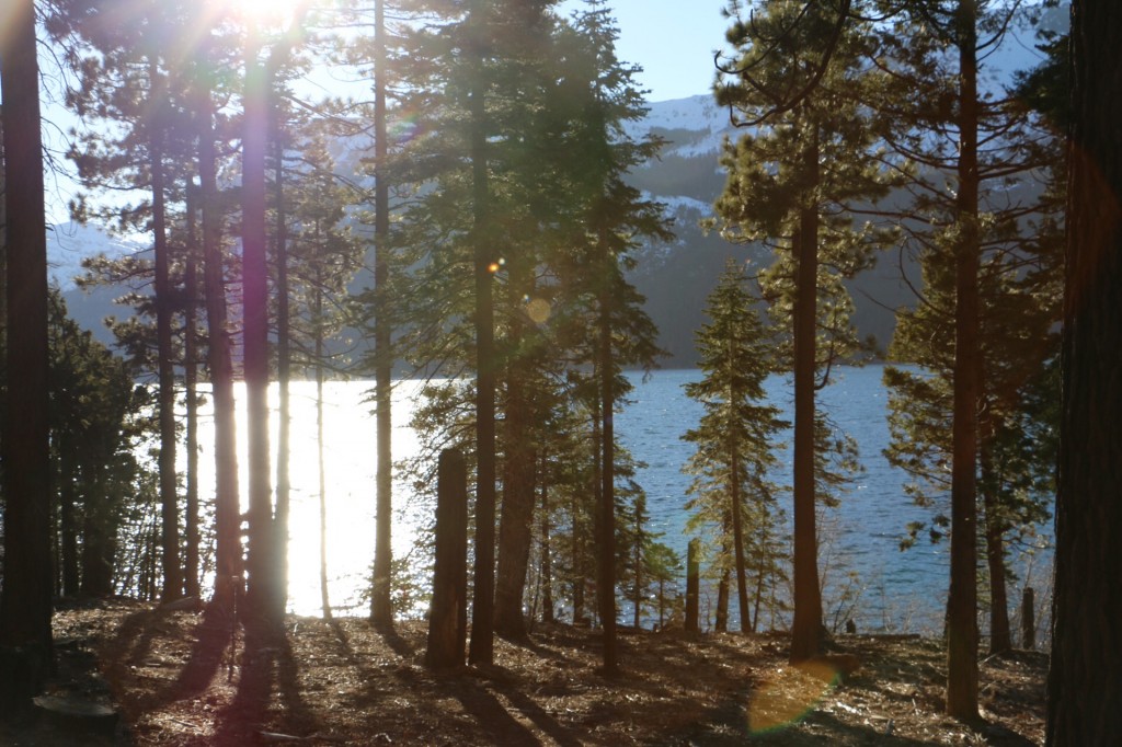
In the Lake Tahoe region, Redmond says the “freezing level” — the elevation at which temperatures dip to freezing — has hovered at around 10,200 feet, or about 3,000 feet higher than the long-term average. That means less snow stored in the high peaks for use this summer.
Follow that with what is now looking like a record-dry January for most of the state — and you’re left with a snowpack that is little more than a quarter of what’s normal for this date.