Update, 8:30 a.m. Monday: The National Weather Service says a cooling trend will begin today along the coast, but inland areas will remain very warm.
A Spare the Air alert remains in effect for the Bay Area, with moderate to unhealthy air quality forecast. Fog and low clouds will gradually develop along the coast during the week.
Update, 6:25 p.m. Sunday: Courtesy of the National Weather Service, some of today's record-breaking temperatures in the Bay Area and Monterey County:
| Location | Today's High | Old Record (Year) |
| Kentfield | 101 | 100 (1950) |
| San Rafael | 101 | 98 (1963) |
| Napa | 104 | 100 (1950) |
| San Francisco | 90 | 84 (1994) |
| San Francisco Airport | 90 | 86 (1960) |
| Oakland (Downtown) | 92 | 84 (1994) |
| Oakland Airport | 93 | 85 (1960) |
| Richmond | 94 | 84 (1963) |
| Mountain View | 97 | 85 (1960) |
| San Jose | 97 | 93 (2000) |
| Gilroy | 107 | 103 (1996) |
| Monterey | 83 | 81 (1966) |
| Salinas | 87 | 86 (1966) |
| King City | 104 | 101 (1933) |
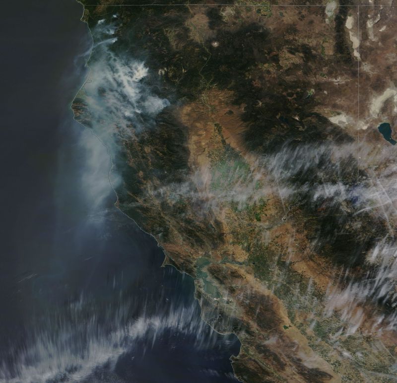
Original post: For weeks now, the wildfires burning north of the Bay Area -- in Lake County and in the vast forests of northwestern California -- have been something happening somewhere else. Smoke from those blazes, which have burned more than 230,000 acres since July 29, has wafted mostly to the north and east.
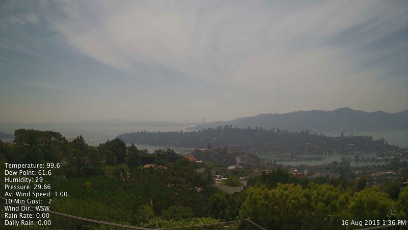
This weekend, smoke from the fires reversed course, drifting south over the Bay Area at the same time a spell of unpleasantly and unusually hot weather descended upon the region.

