Want to explore some new Bay Area hikes for the Thanksgiving holiday weekend? Look no further, the KQED audience has a lot of spectacular trail recommendations for you. Below is a running collection that reporter Miranda Leitsinger has been building since late 2017. Did we miss a hike? Share it with us.
Hiking is undoubtably a Bay Area pastime. When we asked our readers to share their favorite trails a few years ago, we received a few hundred replies from every corner of the bay — Livermore to Pescadero, Muir Beach to Mountain View, San Jose to Sonoma.
The trails include Little Yosemite, Brushy Peak and Gray Whale Cove. Some of you didn't want to share your secret, "quiet" getaway from the hiking hordes. ("Like I’m telling. I don’t want my place to get overrun like Mission Peak," wrote Paula Baez.) Yeah, we get it. Others quipped that their "hike" was a stroll to the fridge (Jacque Sommers) or that "relatives might get lost" (Winston Fox Nelson). And yet others shared sweet memories of the trails. ("The 8-mile trail to Point Reyes [is my favorite], mostly because it was the first of many hikes I took with the woman I married," wrote Mark Falstein.)
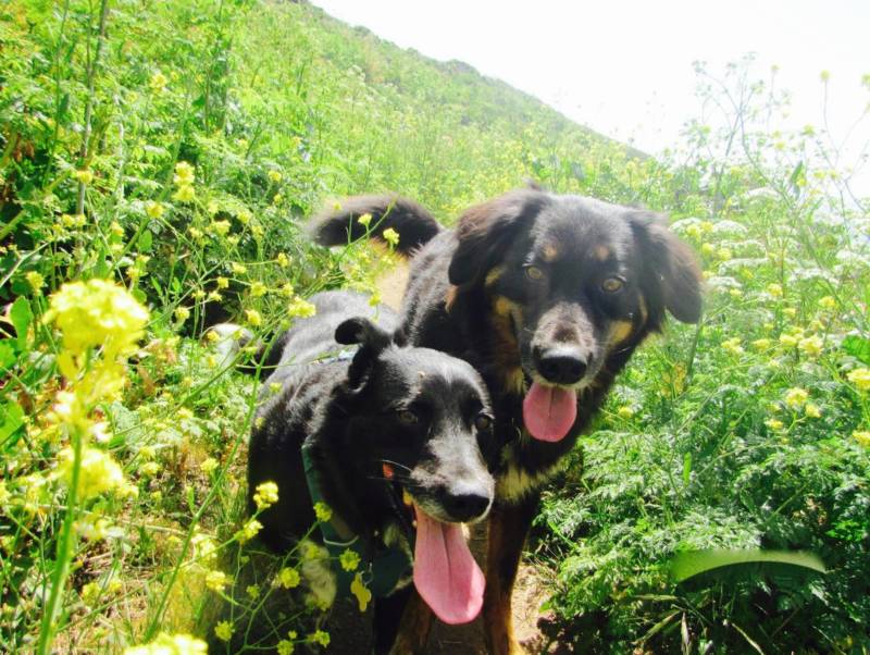
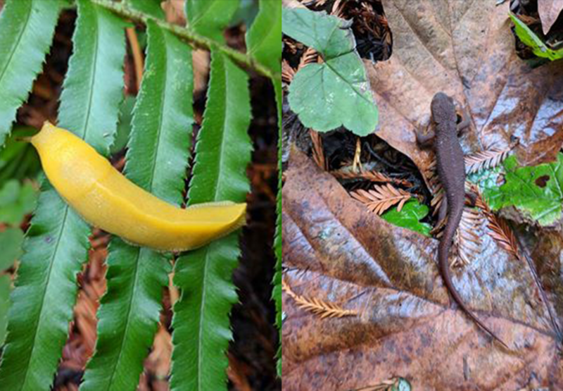
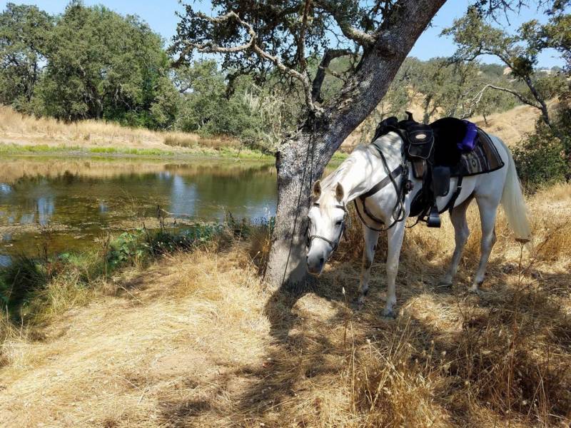
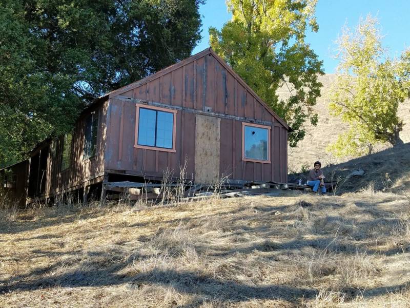
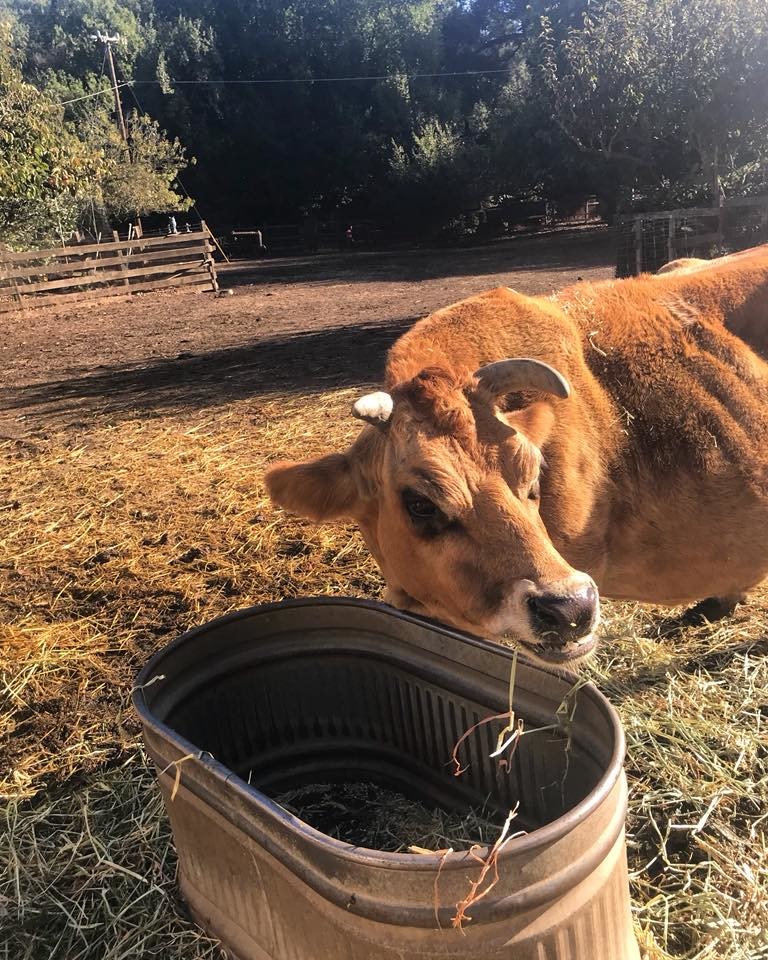
Many of you did share your top picks — and pics (some with horses, dogs and kids in tow) — as well as your own telling names for trails, such as "deer tick trail" in Mount Diablo State Park, and some insider tips on park gems, like a cow named Stella in Rancho San Antonio Preserve, the abundance of banana slugs in Purisima Creek Redwoods Preserve, and historic Willson Camp in Henry Coe State Park.
"It's so hard to choose; they're all my favorites," wrote Barbara Baksa. Yes, we agree. And we hope some of these hikes will become new favorites for you, too.
EAST BAY
Claremont Canyon Regional Preserve
The Stonewall/Panoramic Trail in Claremont Canyon Regional Preserve, starting from Stonewall Road in Berkeley near the Claremont Resort. Super steep, but outstanding views. Continue on and it connects with the UC Berkeley Fire Trail system, and into Tilden Regional Park. You can do a nice walk to the trail from the Rockridge BART station. For a crossing of the Berkeley Hills, continue onto the EBMUD trails to the east of Grizzly Peak Road, and you can take the Delaveaga Trail down to Orinda and the Orinda BART station and then back to Rockridge. — Rob Gendreau
"The reservoir loop AND the surrounding steep hills trails at Contra Loma in Antioch. Such a hometown treasure of scenery & wildlife." — Kathy Martin Barlow
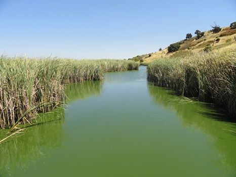
It's so hard to choose; they're all my favorites! But I'm from Fremont, so I'm going to go with Coyote Hills Regional Wilderness (Fremont, Alameda County), taking the boardwalk through the marsh, out to Alameda Creek Regional Trail, and then looping back around to the visitor center. It's an easy hike (really more of a walk in the park) and we always see lots of pelicans, egrets, cormorants, and so many other birds." — Barbara Baksa
Moderate 7-mile Bay View trail. "It offers views of the Bay from the Marin Headlands to the Gabilan Range south of Gilroy, the Peninsula west and east to Mt. Diablo, as well as a Native American archeological site. Red Hill is a nice short climb and the levees are tranquil." — Mark Wagner
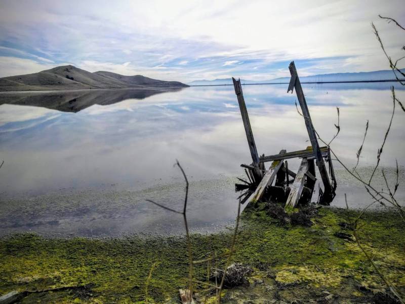
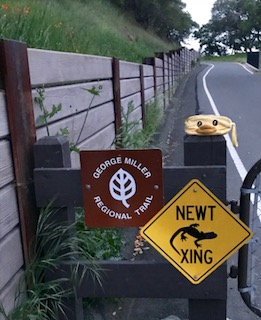
George Miller Regional Trail in the Carquinez Strait Regional Shoreline
"There’s a few tables along the way to mark where you are. Side trails are also available for the more adventurous. Regardless, everyone will enjoy a beautiful view of the Bay nestled between the hills. Also, one of the highlights of this trail is its accessibility. Both in nearness and wheelchair navigability." — Christina Mona
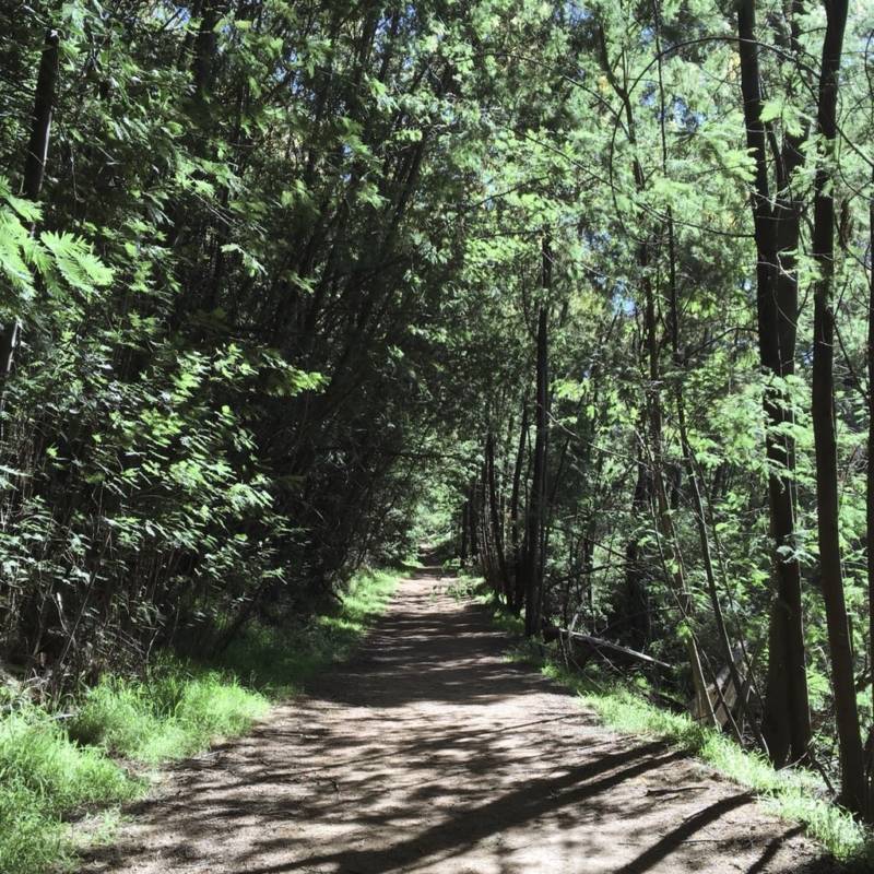
"Start with the Sequoia Bayview Trail. Gorgeous views, flat, easy ... add in Palos Colorados Trail in the same park for hills and waterfalls. Moderate-short, but some steep sections. This park and adjoining Redwood Regional Park are just a few miles from downtown Oakland, filled with streams and redwoods, ferns, single track and fire roads. It is an urban oasis, dog friendly, something for everyone!" — Joyce Hayes
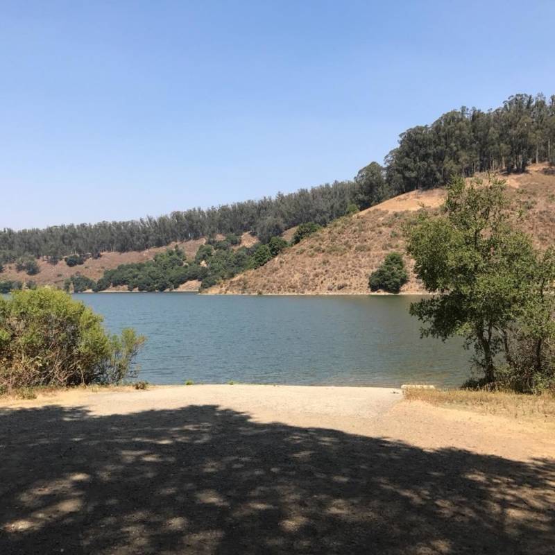
"Finally made it all the way around a few weeks ago, and it’s a marvelous trail.” — Ben Monroe
Morgan Territory Regional Preserve
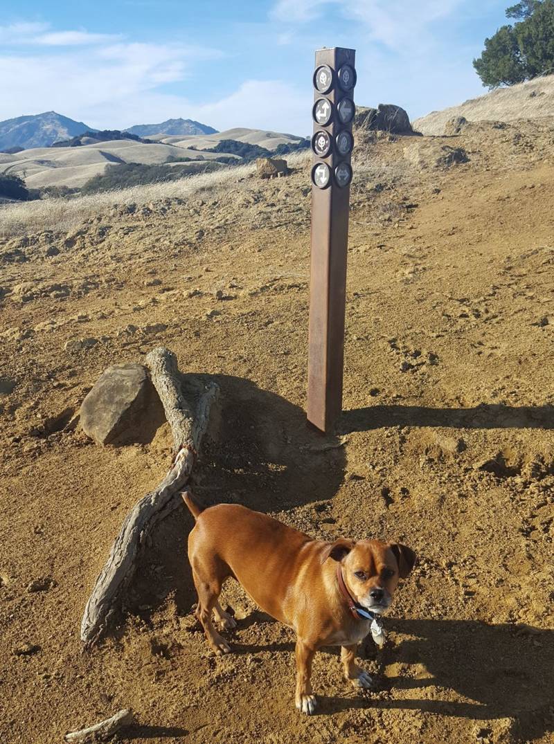
"The Volvon Trail loop is a moderate 5-mile hike with plenty of options to make it longer (grab a map in the parking lot). This hike is my favorite because of the quiet, open space, rolling hills, expansive skies, distant views that go on forever, and dogs are allowed. There's hardly a soul on the trail." — Isabella, Girl With A Truck and a Dog
"Morgan Territory is one of my favorites because of the gorgeous views, wildflowers in the spring, and it's relatively close to my home. The Coyote Trail is almost completely in the shade and has a lovely stream during late winter/spring. Coyote is steep — great for getting in shape for Yosemite." — Linda Wingerd Meamber
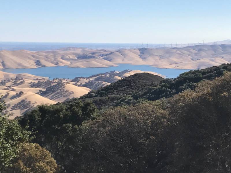

"Mount Diablo! Hikes can be anything from easy to difficult, depending on where and how far you hike." — Kendall Paul Oei
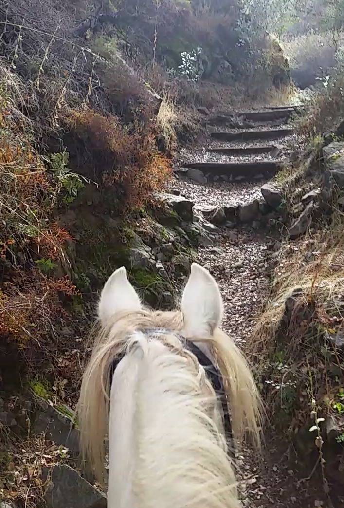
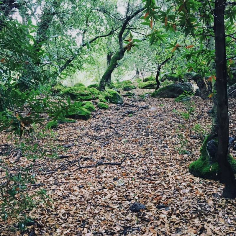
The park "in Fairfield (Solano County) is the most accessible park and closest to where I live. Trails range from easy to moderately difficult with some short, steep inclines. There is little excuse not to hike every week when this little gem is right in my backyard!" — Erika Amaya
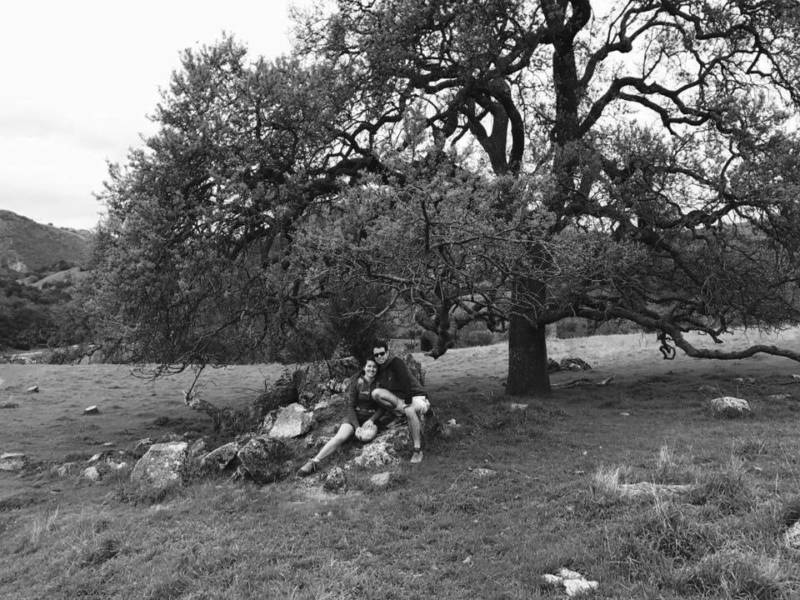
"Little Yosemite ... near my hometown Fremont, Alameda County. Real easy amble; beautiful live oaks ending at semi-seasonal waterfalls. Good for the whole family to take a stroll no matter your hiking level!" — Irina Fox
NORTH BAY
Golden Gate National Recreation Area
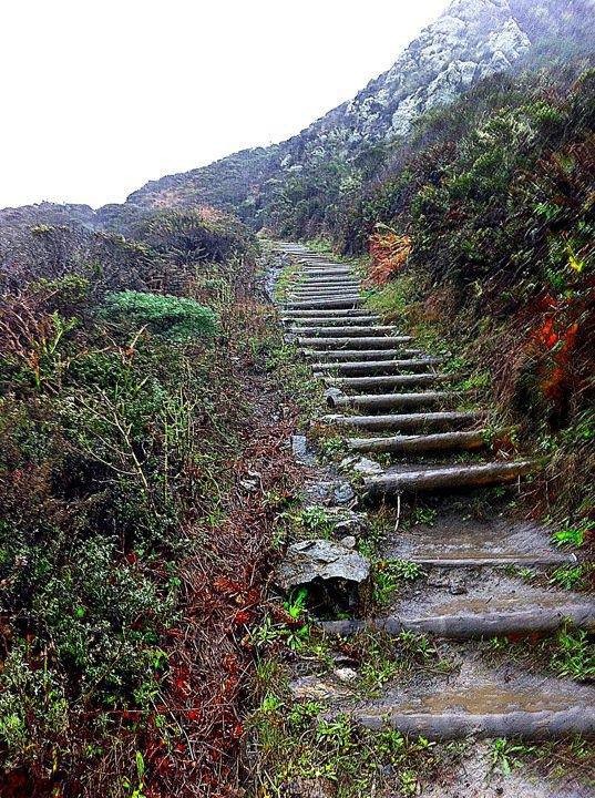
"Difficult hike in Golden Gate National Recreation Area, from Muir Beach, California, head south up Coastal Trail to Pirates Cove, pick up Coastal again up Coyote Ridge, then back to the beach via Middle Green Gulch Trail." — Shiloh Shaeffer
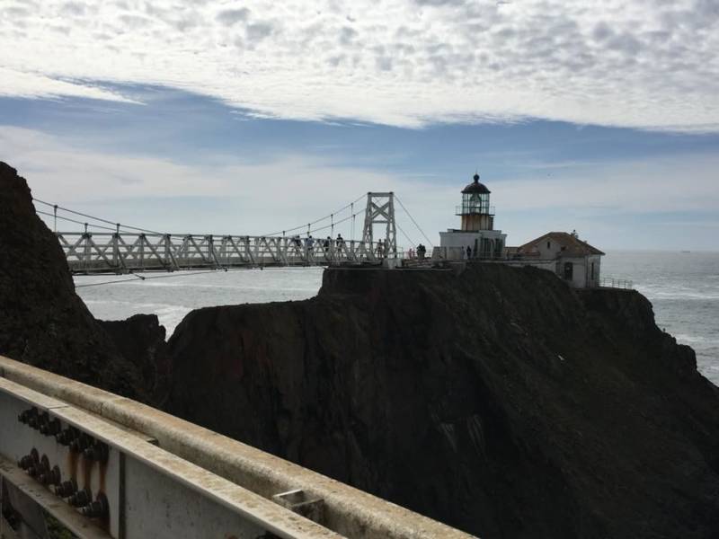
"For somewhat urban hiking, Point Bonita Lighthouse. Paved trails from a parking lot, quite a descent, and you do have to pass through a tunnel bored through the rocky hill, and then over a footbridge that sits high above waves crashing against the rocky cliff-face below. Not for those with a fear of heights (or crowds)." — Jessica Sorenson
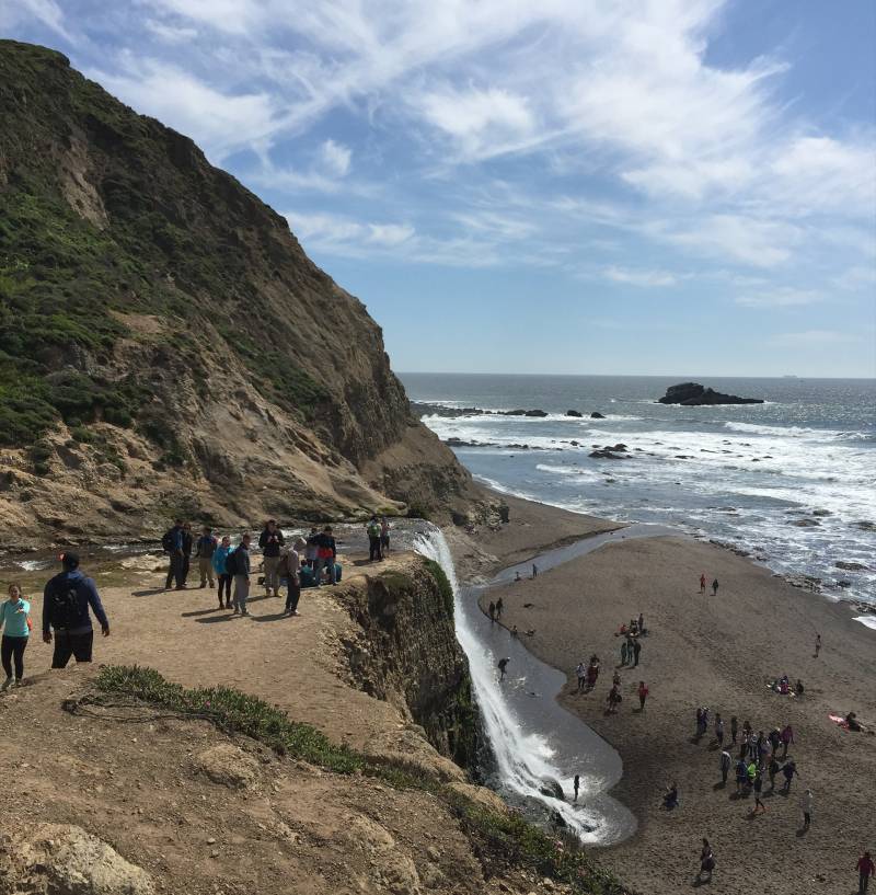
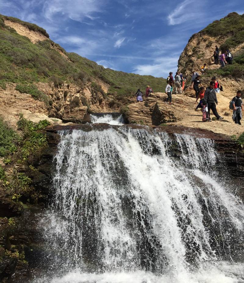
"Alamere Falls — such a hidden gem nestled with a majestic waterfall that falls right into the Pacific!" — Fadwa Bouhedda
*Ed's note: There are several ways to get to the falls, here is a National Park Service map showing the different routes.
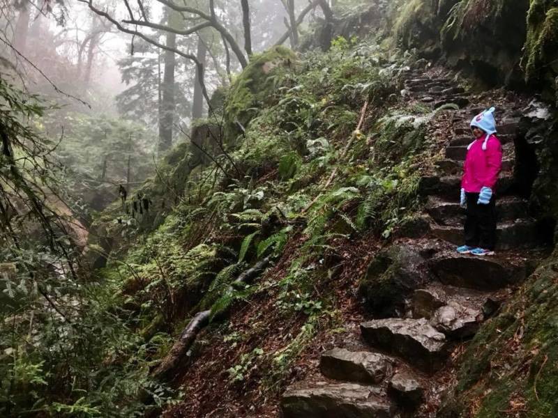
"We love the Matt Davis-Steep Ravine-Dipsea loop on Mount Tamalpais! I’d give it an easy-medium difficulty level." — John Vanschaemelhout
