For more detail, here’s the breakdown.
Why it’s windier in the afternoon
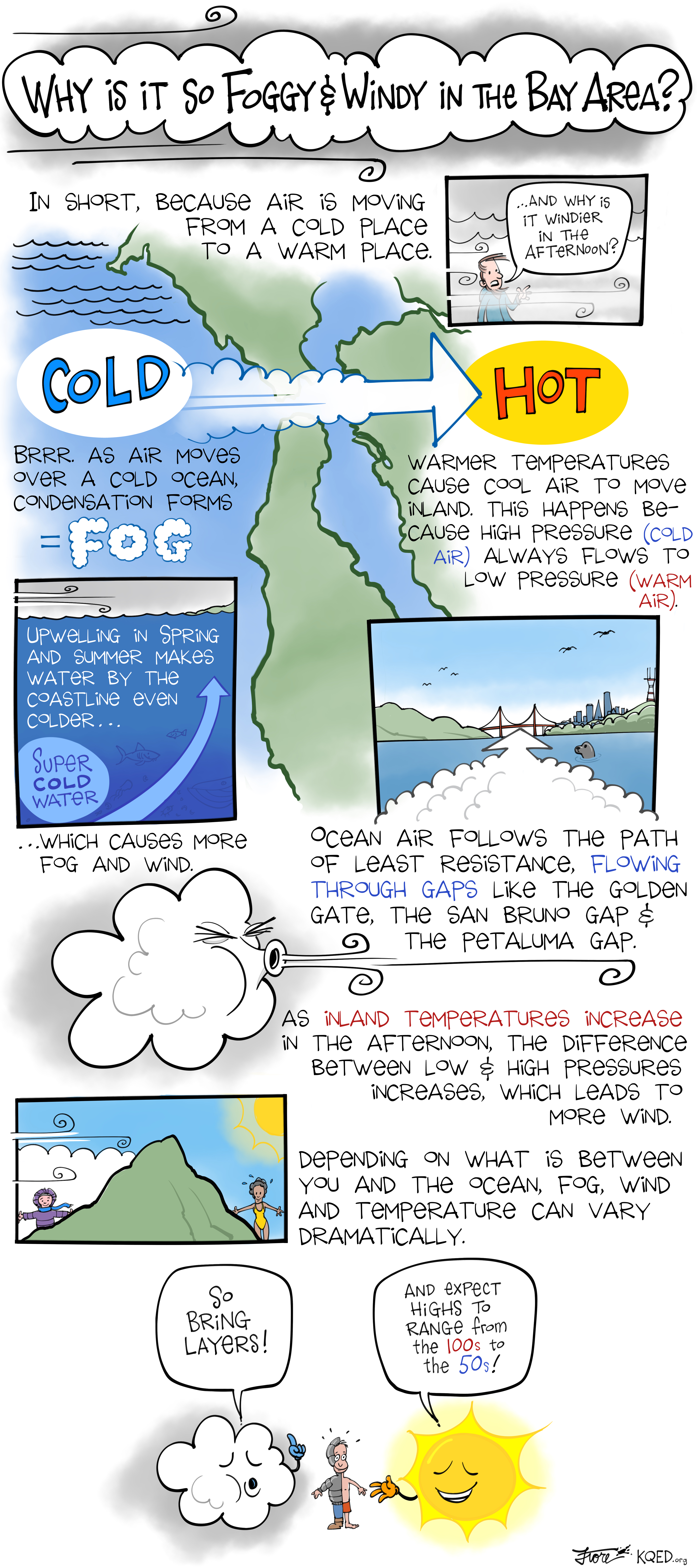
- Air always moves from areas of high pressure to areas of low pressure.
- Hot air rises and is less dense, and is typically low pressure, while cold air sinks and is dense, and is typically higher pressure.
- Over the course of the day, the air inland heats up in California. But air remains cool over the ocean — where the water stays about the same temperature all day.
- The cold, high-pressure air from over the ocean rushes inland, toward the warm, lower pressure air.
- It takes the path of least resistance, squeezing through sea-level gaps in the mountains and ridges — the biggest of which is at the Golden Gate.
- This creates something known as the Bernoulli Effect. “Think about a garden hose. You have the water cranked up all the way and you have the flow coming out of it. Well, you put your thumb over it, you restrict it down, and all of a sudden you shoot 20 yards across the driveway,” said Null. “The same thing happens if you compress air down to a smaller gap like through the Golden Gate or the San Bruno Gap.”
That’s why the winds are strongest on the days where it’s hottest inland and still cool on the coast, when the temperature and pressure difference is the biggest.
Why it’s foggy in the summer
The temperature differences also explain why the Bay Area gets so much fog in the summer.
- There is a system of high pressure over the Pacific Ocean called the North Pacific High. In the summer, it gets stronger, creating big clockwise winds over the ocean.
- Those winds push the surface water of the ocean away from the California coastline.
- Very cold water from deep in the ocean rises to the surface. This is called upwelling.
- Something known as the California Current also brings cold water south from Alaska.
- When the sea breeze blows over this much colder water, condensation forms — creating fog.
- The fog comes inland in the summer for similar reasons as the wind: While it stays cool by the ocean, the high temperatures inland create lower pressure, and the fog is sucked in through gaps in the mountains, like the Golden Gate.
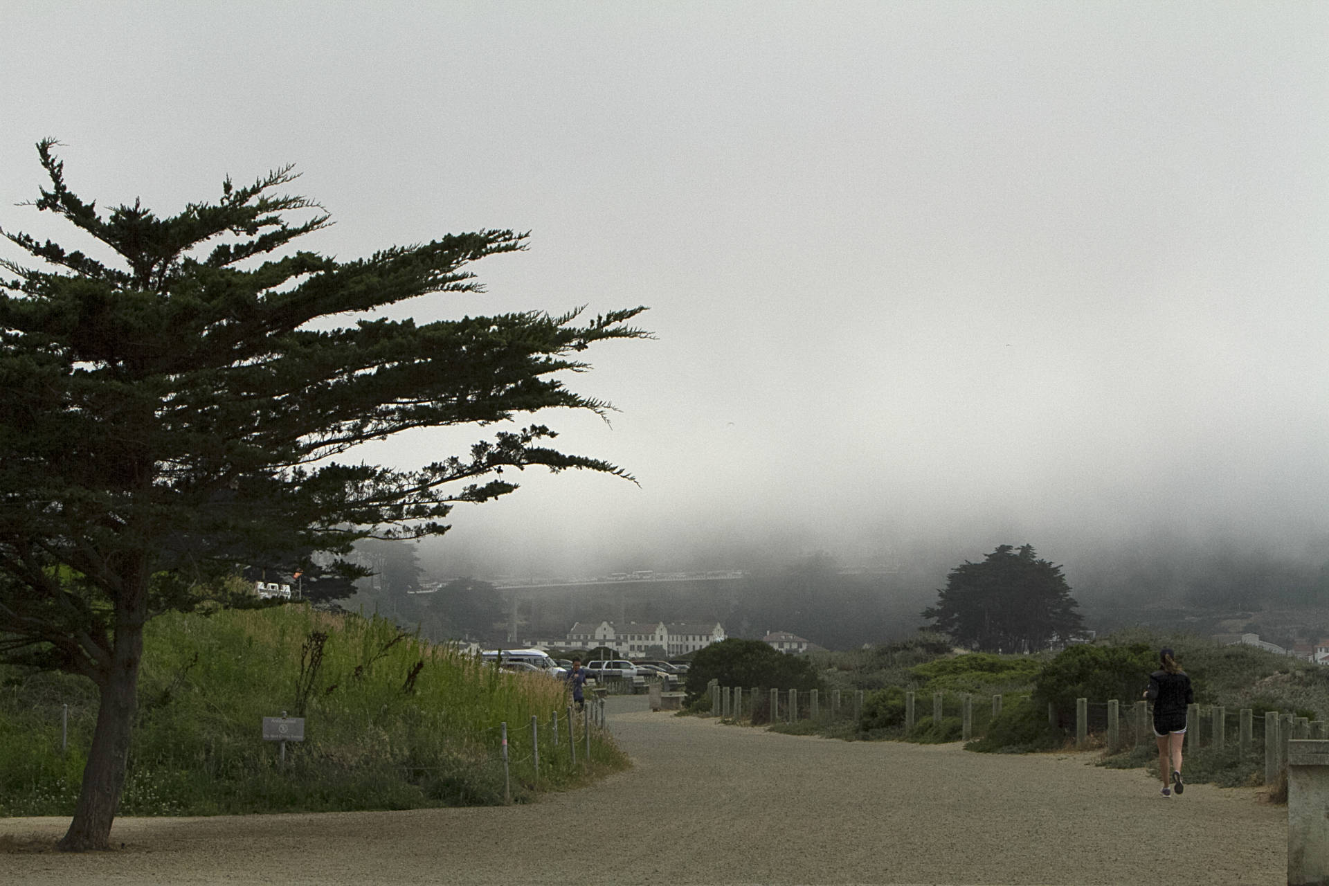
That’s why we see picturesque summer fog rolling in past the Golden Gate Bridge in the afternoon.
“Nothing’s going to move them out until the sun comes up the next morning and evaporates it,” said Null.
Our topography also explains why one neighborhood can be foggy, like the Sunset, and another warm, like the area in Sausalito known as the Banana Belt. The hills and ridges direct the path of the fog and wind, creating these microclimates.
Will our fog and wind remain?
The amount of summer fog has decreased 33 percent over the last century, studies have found. Warming oceans and climate change could continue to affect the complicated weather systems that create our unique Bay Area fog and wind.


