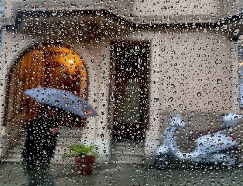
It’s been only a week since the season’s first serious raindrops fell, so you can’t be tired of our wet weather yet.
And that’s good, because you can expect on and off showers throughout much of the Bay Area through Wednesday morning. Then, after a brief dry break, another storm bringing the possibility of high winds and heavy rain is expected to announce its arrival late Thursday.
As for the weekend’s storm: Some places — notably the western Sonoma County hills, east-central Marin, the Santa Cruz Mountains and the Santa Lucia range along the Big Sur coast — got really drenched from the season’s first atmospheric river. And most locales, such as communities ringing San Francisco Bay itself — saw a perfectly ordinary couple of days of seasonal moisture.
The storm, fed by a dense plume of subtropical moisture pulled to the California coast by a slow-moving low pressure system, had dumped 16.85 inches of rain on a weather station at Mining Ridge, in the Santa Lucia about 40 miles southeast of the city of Monterey. Heavy rain continued on Monday, and the National Weather Service said Monday the site could hit 20 inches before the storm moves on.
“Rather impressive to see rain totals of that magnitude from one system. It`s not completely unheard of, but definitely a rarity when looking over the last 15 years,” NWS meteorologists wrote in a forecast discussion.
