upper waypoint

Bay Area’s Extreme Heat Wave is Easing, But Only Briefly

Save ArticleSave Article
Failed to save article

Please try again

People enjoy San Francisco's Baker Beach during warm weather as heat wave warning issued in California, United States on June 4, 2024.  (Tayfun Coskun/Getty Images)

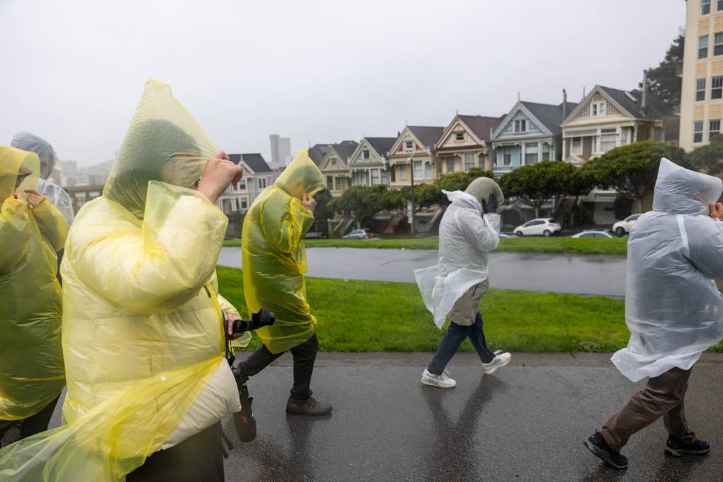
Fog rolled into the coastal Bay Area on Monday morning, a welcome sight promising a slight reprieve from a record-breaking heat wave.

Milder — but still warm — temperatures are forecast across the region Monday and Tuesday, though the latter half of the week will heat back up. Much of the Bay Area is under a heat advisory through Friday before weather is expected to cool off next weekend after nearly two weeks of excessive heat.

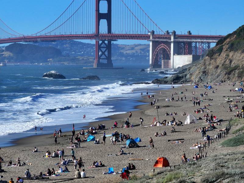
San Francisco highs will be in the low 70s Monday and Tuesday, and peak on Thursday around 80 degrees before more sustained cooling throughout the region beginning Friday, according to the National Weather Service. Inland, temperatures early this week will be 5 to 15 degrees cooler than last week but still above average for this time of year with highs that could reach triple digits.

Most of the inland Bay Area, where an excessive heat warning has been in effect since since last Tuesday, was issued a heat advisory Monday morning, downgrading the severity of the weather event but extending it through 8 p.m. Friday. The area includes portions of Marin and Sonoma counties, along with San Jose and the East Bay and Santa Clara Hills.

Finally, beginning over the weekend, the Bay Area could see a return to more average July temperatures, according to Rick Canepa, a meteorologist at the National Weather Service’s Bay Area station.

Sponsored

“By late week and through next weekend, we’re seeing indications of a reversal of warming,” Canepa said. “We would see more of a pressure trough aloft and more of an onshore sea breeze getting farther inland, so even inland locations will be cooling back at least closer to their normal high temperatures for the time of year.”

Daily temperature records across the Bay Area have been broken since the start of the marathon heat wave. Weather stations recorded new daily highs throughout the region every day from July 2 to July 6, including at San Francisco International Airport, where the high reached 87 degrees Thursday, breaking a previous record set July 4 in 1973, Canepa said.

Related Coverage

Daily highs in the low 100s were recorded in San Rafael on multiple consecutive days, and Livermore reached 111 degrees Saturday — surpassing its previous record of 109 on July 6, 1905, Canepa told KQED.

While milder weather is coming, how cool and for how long is unknown. According to the most recent forecast discussion from the National Weather Service, the downward trend doesn’t necessarily mean a return to usual weather.

“This week will be cooler than last week, and next week will be cooler than this week. It’s just that after all that cooling, we may still be above normal,” the report said.

lower waypoint
next waypoint