Updated 3:40 p.m. Sunday
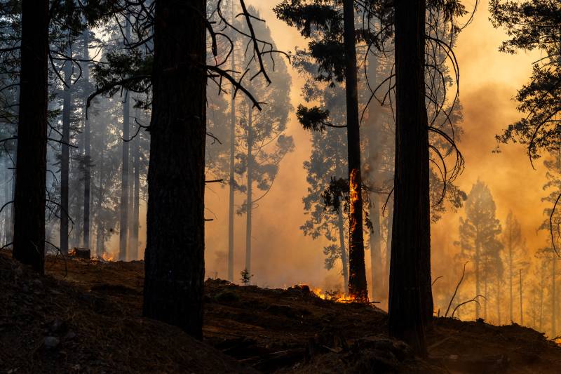
The Park Fire has burned over 357,000 acres north of Chico since Wednesday, making it one of the largest fires in state history. On Saturday, Gov. Gavin Newsom visited the area to survey firefighting efforts.
“We’re continuing to see dangerous conditions – our firefighters and emergency responders are working day and night to protect our communities,” Newsom said. “Californians must heed warning from local authorities and take steps to stay safe.”
The fire is 12% contained as of Sunday morning, according to Cal Fire.
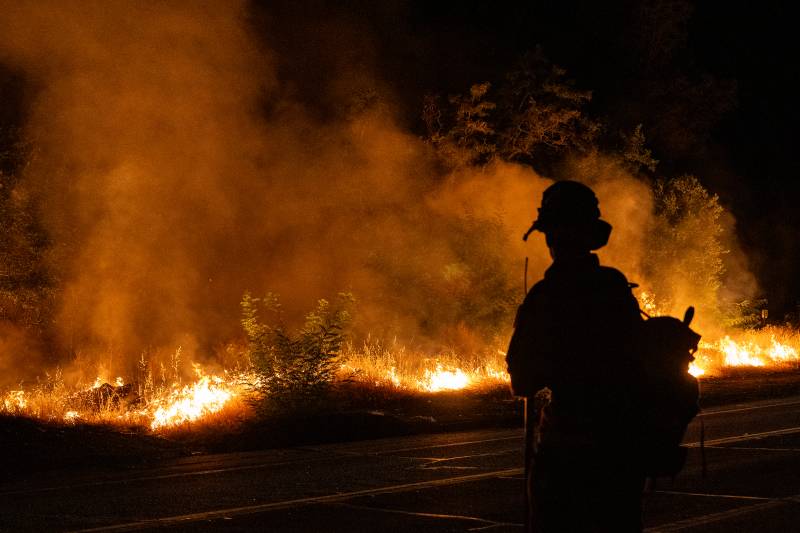
“We have pedal to the metal right now,” Sergio Arellano, a public information officer for Cal Fire told KQED Sunday morning. “We want to get this contained. We are ordering resources. We still are considering this a dangerous fire, with the potential to grow.”
Temperatures are predicted to continue rising, and the fire is still considered extremely dangerous. No major injuries have been reported, and state firefighting officials decreased Sunday the estimated number of buildings destroyed by the fire — down to 67.
Arellano added that there are almost 4,000 people working on the fire and cautioned those eager to check on their homes to wait until it is safe. “It is going to take a little while to make sure that we haven’t missed anything and not try to repopulate or open up any kind of evac zones or warnings too early,” Arellano said.
Climate scientist Daniel Swain said Saturday afternoon in a webcast that he expected the fire would likely reach at least 500,000 acres, and did not rule out as much as a million acres. That’s despite an aggressive, coordinated response from firefighters.
“I think what we’re realizing is that even with probably the most well-resourced wildland firefighting agency in the world in California, Cal Fire,” Swain said, “it’s still beyond technology to address a fire at that scope.”
Before Saturday, the fire’s growth was explosive.
“It’s been growing 5,000 acres an hour since the ignition of this incident,” said Billy See, the Incident Commander for CalFire at Saturday morning’s briefing. “We’re looking at almost eight square miles an hour.”
“It really is incredible how quickly it’s grown,” Rick Carhart, public information officer for Cal Fire, told KQED Saturday. Despite the cooler weather, he said, the fire is still capable of behaving erratically.
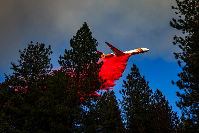
“That giant cloud that the fire is putting up, that is a pyrocumulus cloud, which is basically the fire creating its own weather,” Carhart said. “When the fire’s creating its own weather, it’s all unpredictable.”
Carhart added that some of the areas in the Cohasset and Forest Ranch areas have not seen fire activity in a couple decades.
“When you have 20 years with no fires, that’s a lot of brush,” he said.
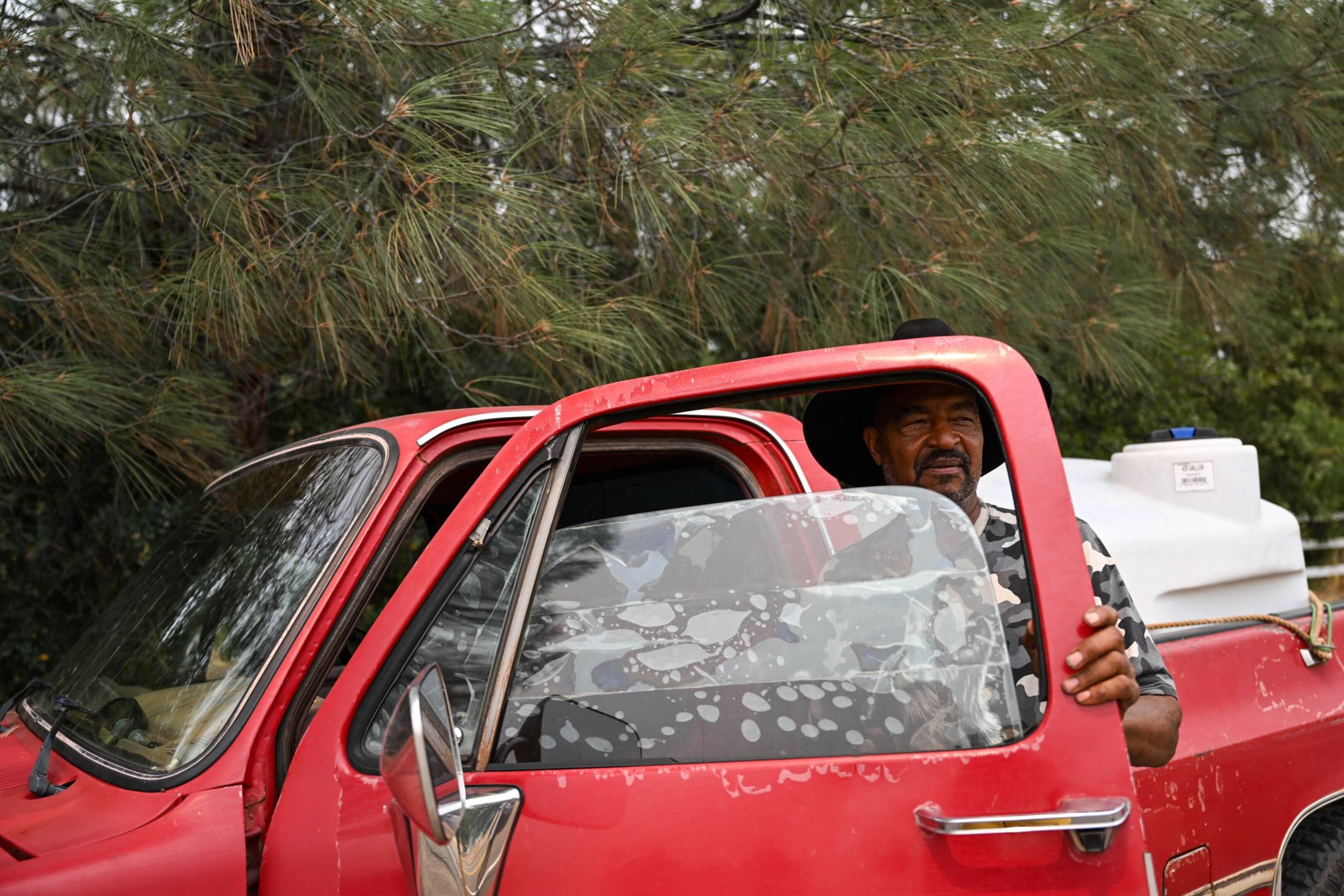
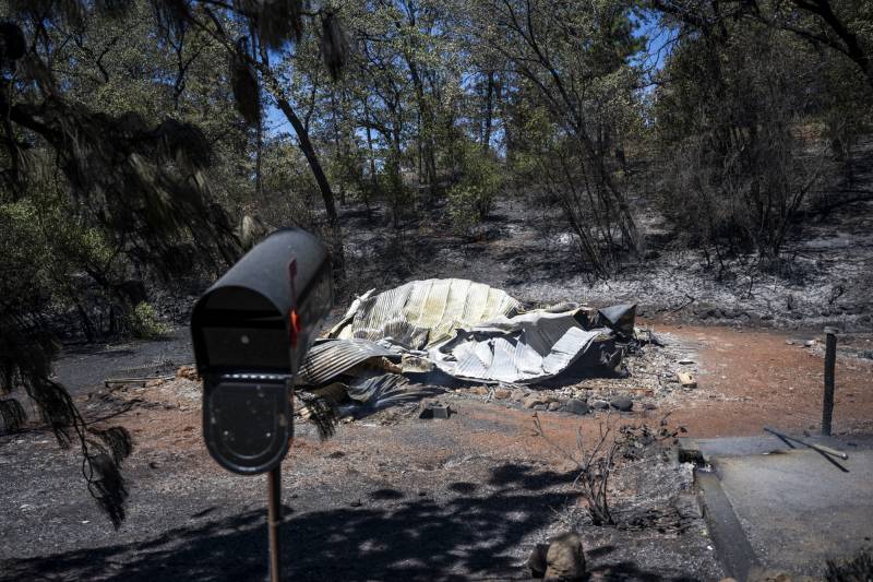
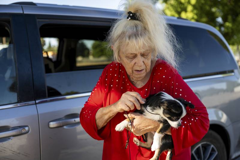
Larry Jansen, a Cohasset resident, lost his home and made it out just an hour before the fire went over the road and closed the way out.
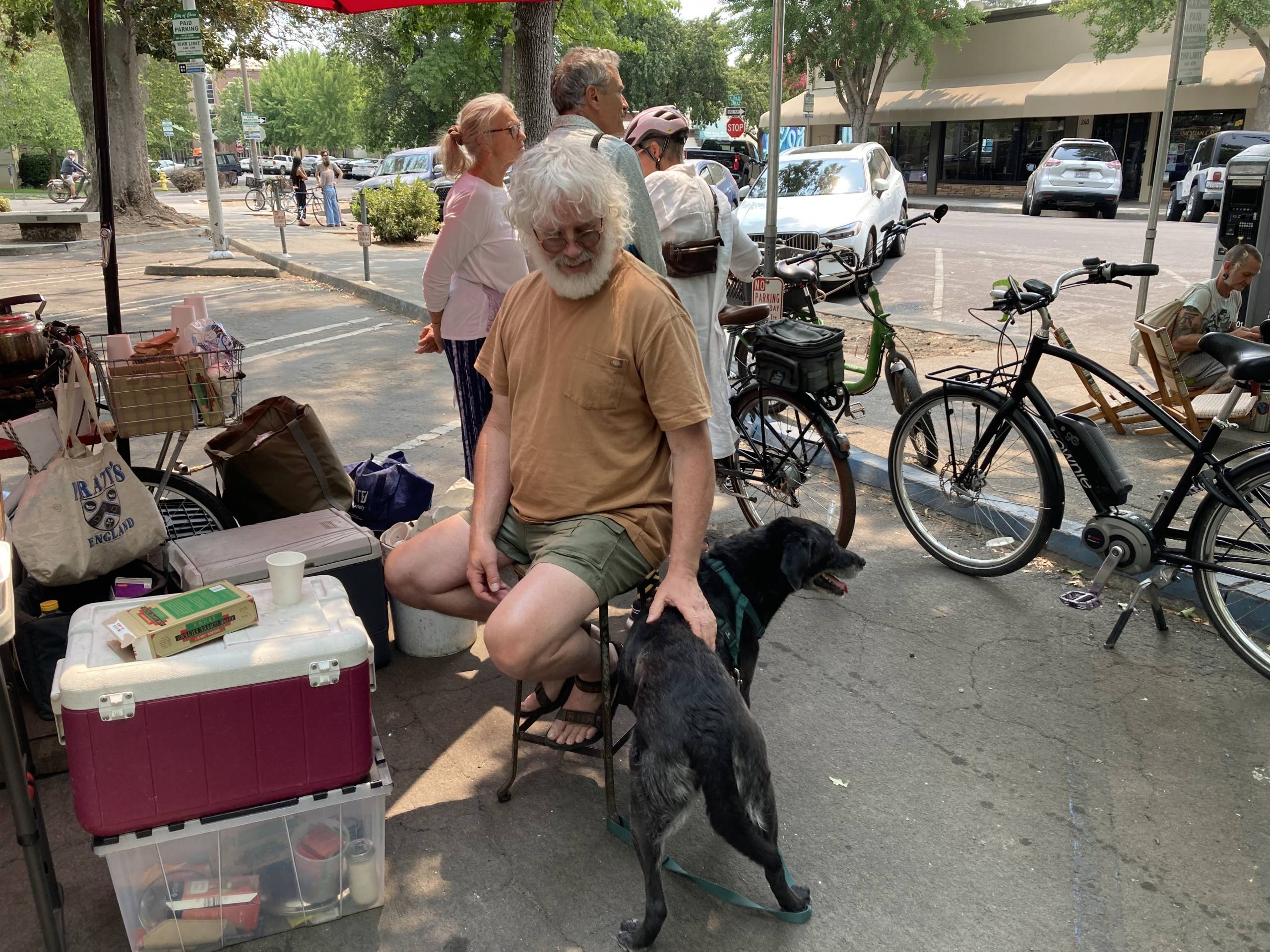
“Our place is gone, burnt. Totally gone. And our whole area burned up,” he said, at Chico farmers market, where community members are coming together to support those who have been evacuated. “Friends are taking care of us right now … It’s a clean slate ahead. Nothing to worry about right now.”
Friday, the fire crossed Highway 36, impacting several small communities. Cal Fire’s Jed Gaines described how they had to wake up teams of firefighters out of hotels to “surge them in” to help maintain the lines in the area, meaning that some teams had to work double-shifts.
Evacuation orders are in effect for communities north of Chico. Evacuation orders have also been issued for areas in eastern Shasta County up to Highway 44 and Shingletown. Overall, thousands of people are affected by evacuation orders, many have been affected by previous fires. Lassen Volcanic National Park has announced it is closed due to the encroaching Park Fire, with all reservations canceled and personnel evacuated.

On X, formerly Twitter, Butte County posted: “Seeing a sky filled with smoke affects this community. The fact that this has evacuated people who have been evacuated many times before is horrific. Please do not hesitate to reach out to the Butte County Behavioral Health Access Line if you need assistance: 530-891-2810.”
For many in Paradise, the smoke and warnings from the Park Fire bring back trauma from previous evacuations. “We still have the warning in place, and we’re saying be ready if you feel uncomfortable, go ahead and evacuate,” Paradise Mayor Ronald Lassonde told KQED on Saturday. “There’s a large percentage of our population that actually drove through the flames. Someone ran through the flames. So, of course, that trauma stays with you.”