upper waypoint

Heavy Rain Pounds Northern California, But the Worst Is Yet to Come

Save ArticleSave Article
Failed to save article

Please try again

A "road closed" sign floats on a flooded street on Oct. 24, 2021, in San Rafael, California. The atmospheric river storm moving over the West Coast has brought over 6 inches of rain to parts of the North Bay, where as much as 12 inches are forecast this week. (Beth LaBerge/KQED)

Updated 3:58 p.m. Wednesday

Intense bands of rain and powerful winds will continue across the Bay Area overnight and into Thursday as the region’s first atmospheric river of the season strengthens. The North Bay will continue to bear the brunt of the storm.

“This is the first big storm of the season, and it is quite a big storm. So we’re not starting off as easy as some other seasons have allowed us to,” said Brayden Murdock, a National Weather Service’s Bay Area office meteorologist.

Meanwhile, about 14,000 PG&E customers are without power, according to the utility, which said in a storm response update that wind gusts of 90 mph were recorded at Point Mendocino.

A flood advisory is now in effect for the Santa Rosa area until 8 p.m. this evening, where light flooding has already started.

Sponsored

Murdock said the slow-moving storm may dip south of the North Bay on Thursday and Friday, bringing a “conveyor belt of showers” before hopefully dissipating on Saturday.

“Early tomorrow morning, we will start to see more shower activity across San Francisco, but the brunt of it will still be holding off until really going into late Thursday and Friday for the Bay Area proper,” he said.

Murdock cautions Bay Area residents to stay indoors as the storm intensifies and to not drive across flooded streets because moving water is more powerful than it looks.

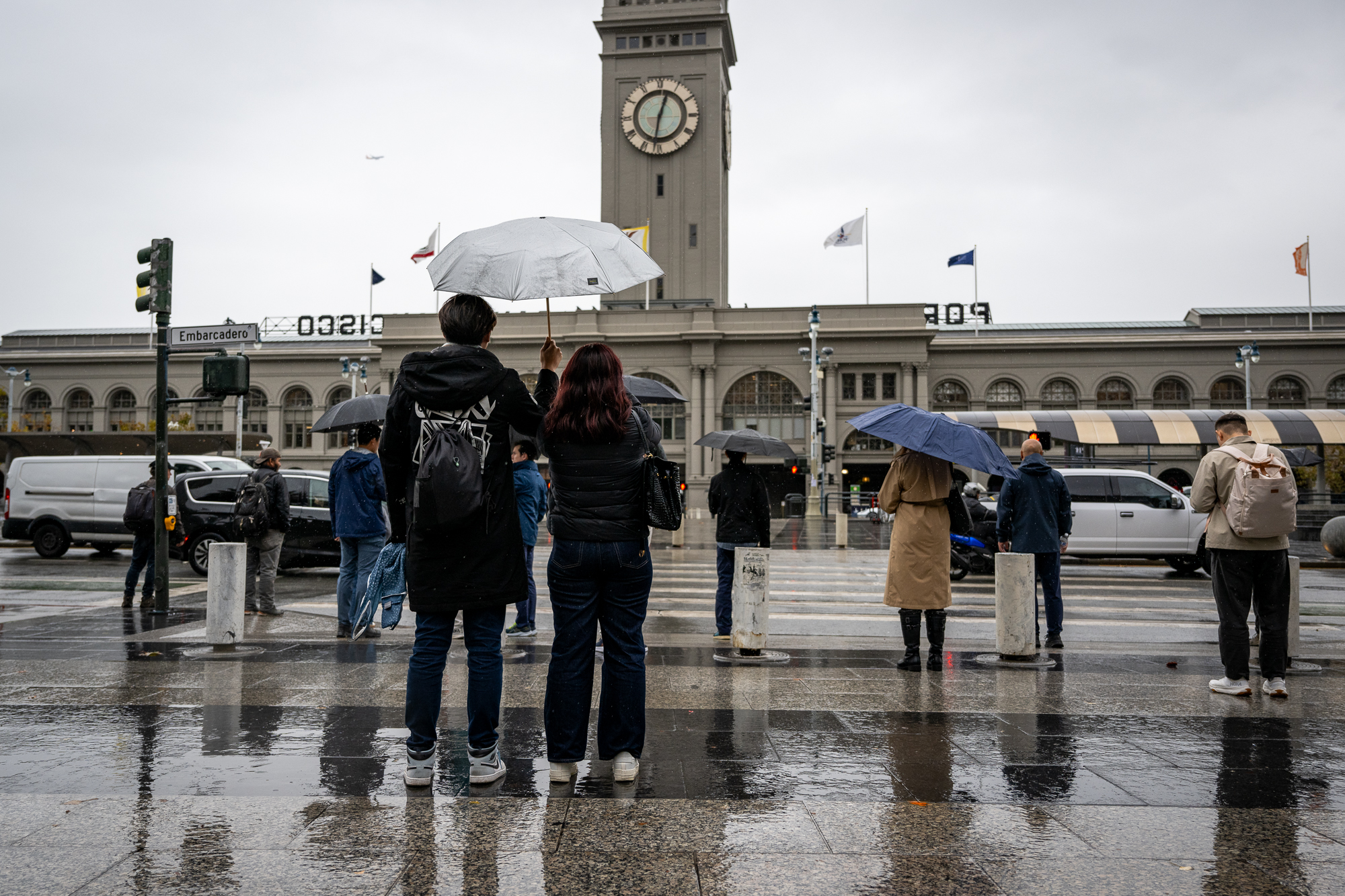
People with umbrellas walk near the Embarcadero in San Francisco on Nov. 20, 2024. (Beth LaBerge/KQED)

Rainfall totals are also stacking up in the North Bay coastal mountains, but meteorologists warn that the worst is yet to come.

“It’s going to swing through on Friday once it gets the actual push to the south,” said Roger Gass, a meteorologist with the National Weather Service’s Bay Area office

Nearly 5 inches of rain have fallen in Venado, north of Guerneville, and more than 6 inches of rain have soaked the rural town of Occidental, west of Sebastopol, Gass said.

“Across Sonoma County, the storm is right on track of what we currently have in the forecast,” Gass said.

The building intensity of the atmospheric river reminds National Weather Service meteorologists of a storm from October 2021 that dropped nearly 8 inches of rain in Santa Rosa.

Although the amount of rain that could fall in Santa Rosa this week is similar — there’s a 10% chance rainfall could exceed a foot, according to the weather service’s latest forecast discussion — part of what led to the flooding in 2021 was heavy rain over a fire scar. That daylong deluge forced water rescues, evacuations and extensive urban flooding.

This time around, there isn’t a recently burned area that could slough off water into communities, said Paul Lowenthal, division chief fire marshal for the Santa Rosa Fire Department.

“We ended up evacuating about 100 residents with the assistance of multiple swift water rescue teams where a neighborhood was under several feet of water,” Lowenthal said. “Hopefully, something like that won’t happen during this storm.”

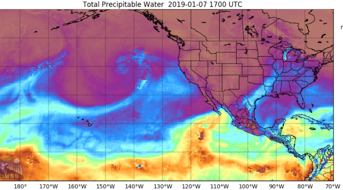
The atmospheric river storm trailing the West Coast from the Gulf of Alaska could drop as much as 12 inches of rain in the North Bay and up to 4 inches in San Francisco. Up to 6 inches of rain could fall in the Central Valley, and in the Sierra Nevada, totals could peak at 10 inches.

The atmospheric river is being pumped up by a bomb cyclone, which happens when warm and cold air clash. This drops atmospheric pressure and strengthens a storm, which could mean a ton of rain and wind for the region.

“Today through Friday are going to be the heaviest precip days,” said Sara Purdue, a meteorologist with the weather service’s Sacramento office. “It’s going to be kind of off and on heavy precipitation throughout those few days.”

Atmospheric rivers move an exceptional amount of condensed water vapor over the ocean; when they make landfall, they can cause massive storms that douse a region with a torrent of water like a fire hose. By the end of the century, climate change has the potential to make these deluges up to 37% wetter, according to a June 2022 study by Bay Area climate scientists.

The storm will ramp up over the next two days before intensifying Friday and Saturday. It is already causing issues, including power outages in Northern California, Oregon and Washington, where at least one death has been reported.

Locally, forecasters are “expecting the North Bay to take the brunt of it,” said Gass. “But then, as the front progresses southward Friday and Saturday, we’ll see widespread rainfall across the entire region.

Gass said the service had issued a flood advisory in the Santa Rosa area through Wednesday afternoon, but as the storm encompasses the region, it could be extended.

“I don’t necessarily think they’ll have to be water rescues, but it’s not out of the question,” he said. “Most of the streams and rivers will be able to handle this capacity of rain. It’s going to be minor flooding in urban areas and small stream flooding.”

But Lowenthal, the Santa Rosa fire marshal, is worried that after the first round of rain Wednesday, soils will be too saturated to handle the heavy rain bands forecasters expect to cascade down on the region Thursday and Friday.

“The soils can only handle so much, and then we start to see runoff versus absorption, and that’s where we start seeing a lot more potential for flooding,” Lowenthal said.
lower waypoint
next waypoint