Updated 1:45 p.m. Wednesday
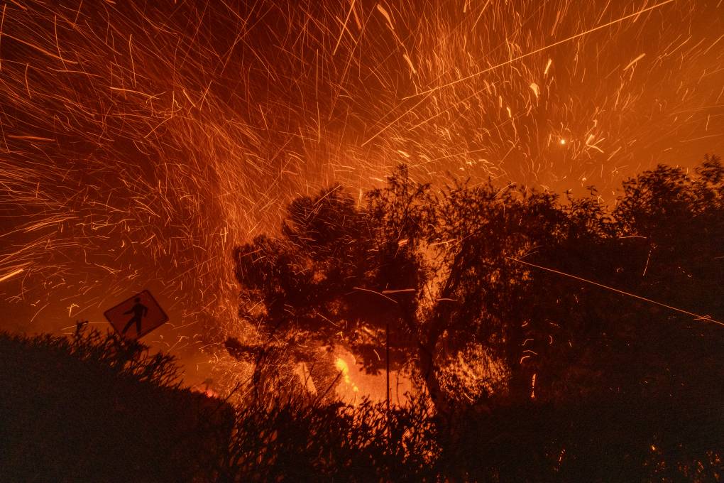
Another day of fierce winds gusting to 65 mph in mountainous areas of Los Angeles and Ventura Counties in Southern California was expected on Wednesday, but weather more conducive to firefighting operations is expected soon.
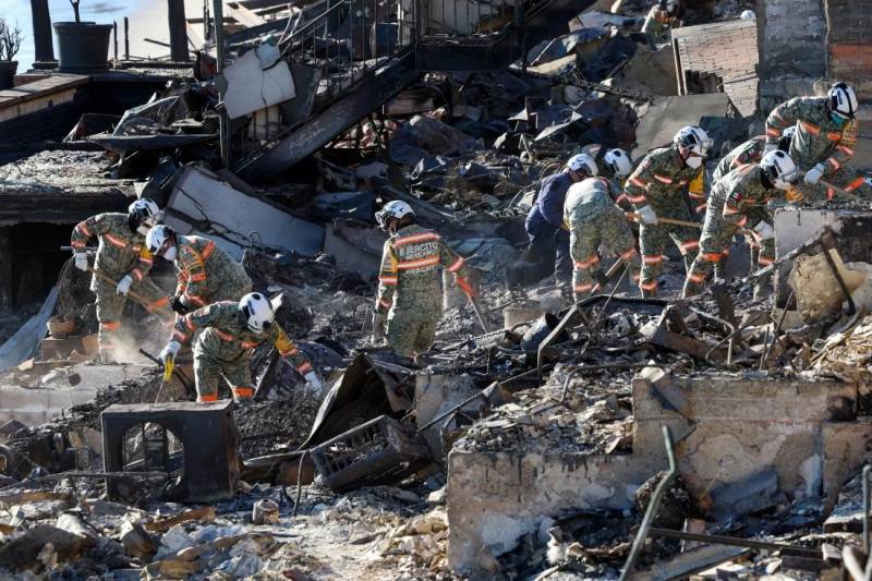
The National Weather Service (NWS) issued another red flag warning for the area until 3 p.m. PST, cautioning of more of the windy and dry conditions that have fed raging fires for more than a week. The strong Santa Ana winds have helped push the deadly blazes through the Los Angeles suburbs, killing at least 25 people and leveling expensive real estate in Pacific Palisades and Altadena.
All told, the fires have engulfed more than 40,000 acres (more than 62 square miles), according to Cal Fire.
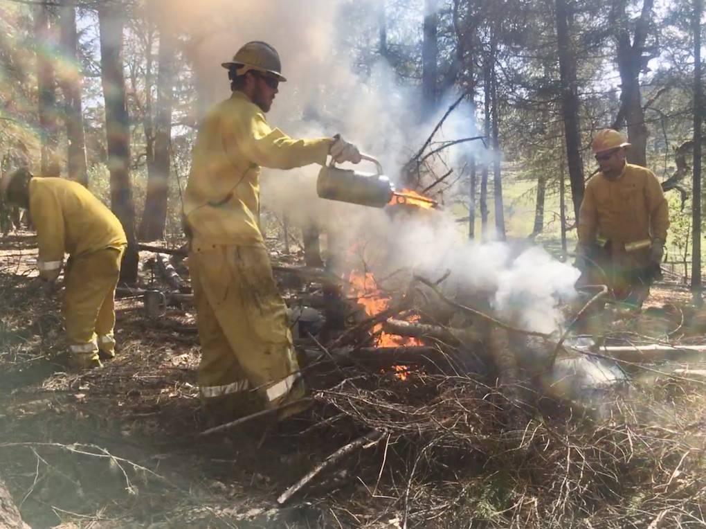
“The good news is that for the last two days we’ve had no increase in acreage at the Eaton Fire and it remains estimated at 14,117 acres with 35% containment,” Los Angeles County Fire Chief Anthony Marrone said of one of the largest fires.
(Map by Matthew Green/KQED)
This map is updated regularly throughout the day. Wildfire locations and perimeters are sourced from Cal Fire and updated multiple times per day. Click on each fire icon for more incident-specific detail. Evacuation zones and wind conditions can viewed by clicking the layers button (top left). If map is not loading correctly on your device, try viewing it here.
The Palisades fire, which spans more than 23,000 acres, is just 19% contained, according to Cal Fire.
On Tuesday, meteorologists initially called for particularly strong winds that turned out to be lighter that expected, according to NPR member station LAist.
But a reprieve in the high winds was expected from Thursday into Saturday. NWS meteorologist Ryan Kittell noted that the service is worried about “one last [wind] enhancement” through Wednesday and that peak winds would be highest in Ventura County.