upper waypoint

After Weeks Without Rain, California Forecast Takes a Turn. But Don’t Expect Much

Save ArticleSave Article
Failed to save article

Please try again

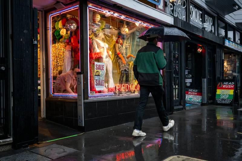
A person walks on Haight Street in the rain in San Francisco on Nov. 22, 2024, during a storm bringing heavy rain and strong winds to the Bay Area. Northern California’s current dry spell, which has lasted nearly three weeks, could end this weekend. Southern California, meanwhile, has had a historically dry winter. (Beth LaBerge/KQED)

After weeks of dry weather, there’s a chance rain could return to the Bay Area this weekend, but don’t expect a storm.

Northern California’s current dry spell, which has lasted nearly three weeks through the heart of the rainy season, is expected to continue at least through Friday when a weather system on the horizon could offer some reprieve. Meanwhile, Southern California is hoping for any amount of rain to ease dangerously dry conditions there.

On Thursday night, there will be a disturbance over the Pacific Northwest similar to those that have created strong offshore winds throughout California in recent weeks. Whether this one could bring rain instead depends on how far over the water the storm moves as it reaches California, according to National Weather Service meteorologist Dalton Behringer.
Sponsored

“The further west [the storm] moves, the higher chance of rain, and the further inland it stays, the lower chance of rain and actually the higher chance that we see offshore winds,” he said.

The chance of rain is “slim,” Behringer said, and any rainfall is not expected to be very significant. If people around the Bay Area do see rain, it likely won’t be anything more than a few light showers.

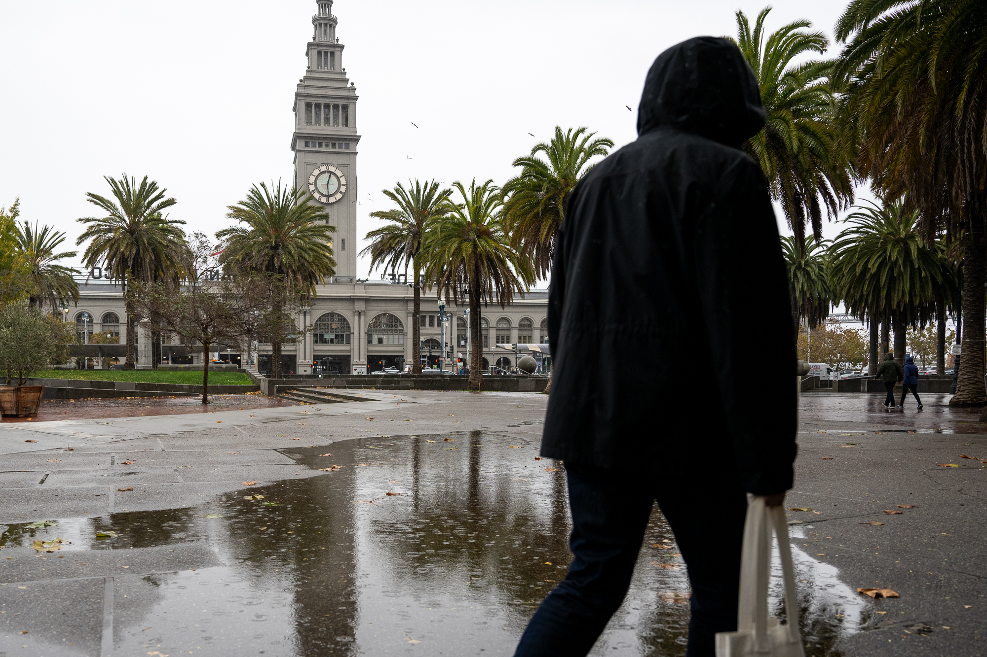
A person walks in the rain near the Embarcadero in San Francisco on Nov. 20, 2024. (Beth LaBerge/KQED)

Farther north, Lake Tahoe could see fresh snow for the first time since early January, with chances for snow showers between 30%–50% and 60%–70% around various parts of the Sierra.

Southern California, meanwhile, could see its third rainfall of the season after weeks of extreme fire danger amid a historically dry winter.

Ventura and Los Angeles counties have again been on high alert Monday and Tuesday as the latest in a string of destructive Santa Ana windstorms blows through.

Dangerous wind conditions are expected to continue through Friday, threatening to worsen the Palisades and Eaton fires as fire crews work to contain them — or quickly spread any new blazes that might start.

The winds gusting through the state since early January have been so much more damaging in Los Angeles and its surroundings because of the dry vegetation there. While the Bay Area was poured on in November and December, parts of Southern California plunged into drought.

According to the National Weather Service, there’s a good chance of showers in Los Angeles on Saturday night, bringing a small but welcome amount of rain — a quarter-inch to a half-inch — in most areas. Less welcome is a slight chance of thunderstorms with the rainfall, which NWS officials say would increase the threat of mud and debris flows in and below recently burned areas.

Unfortunately, this weekend’s forecast doesn’t appear to be a signal that rain is here to stay, Behringer said. The event looks like a “one-off” in the rest of January’s forecast in the Bay Area at least, but there is a chance that shifting weather patterns in February could bring more rainy days.

“It does look like we go through a bit of a pattern change,” he told KQED. “Whether or not we move into a much wetter period is still kind of up for question, but it at least looks like we’re moving into a more active period in February.”

lower waypoint
next waypoint