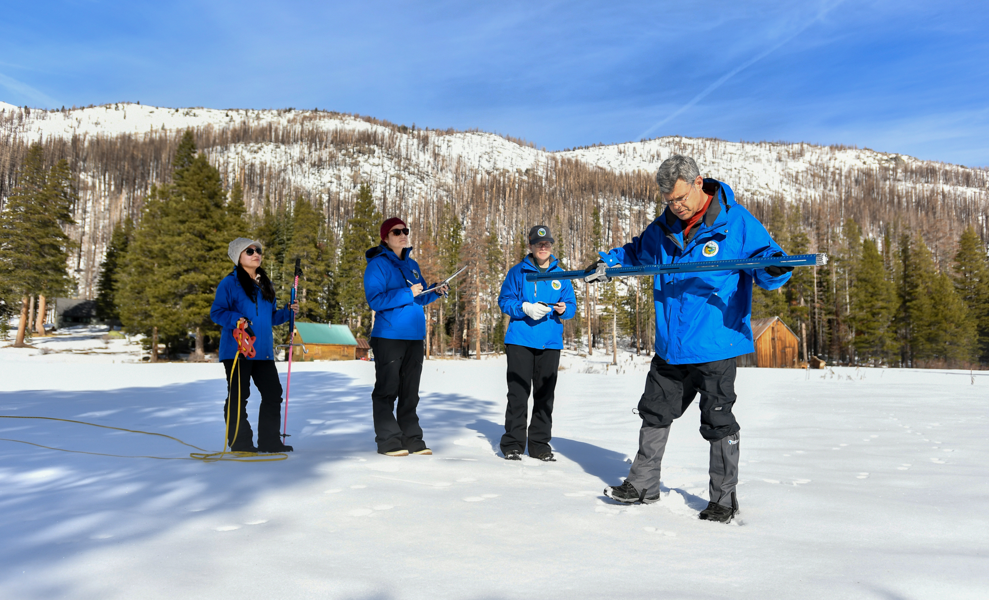
Andy Reising, manager of snow surveys and water supply forecasting for the state Department of Water Resources, said this is the third year in a row that snowpack conditions at the start of April are near or above average for this time of year. Farmers and cities across the state rely on this frozen reservoir for water supplies as the snowpack melts in spring and summer.
“Our hope is that we’ll get a little bit more before this season ends,” Reising said. “While it’s positive news today, we know that our luck could run out, and we could fall into a drought anytime.”
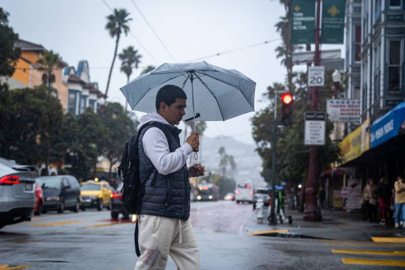
With little to no break in rain, forecasters said Monday’s cold front is expected to bring heavier rainfall over a shorter period, according to the Bay Area office’s daily forecast discussion. Across the Sierra Nevada, there’s a “40 to 70% chance of at least seeing a foot of snow or more above 4,500 feet,” said Idamis Del Valle-Shoemaker, a meteorologist with the weather service’s Sacramento office.
Amanda Young, a meteorologist with the weather service’s Reno office, suggests winter sports enthusiasts head up the mountain on Saturday before the trio of storms begin.
“Sunday should be fine in the morning hours, at least in terms of travel if you’re coming off the mountain trying to get back down to your residence,” Young said.
The first two storms could drop as much as 16 inches of snow. Young said it’s too early to forecast potential snow accumulation for the third storm starting Tuesday.
“One model suggests the system is trending a little bit colder with a lot more snow potential,” Young said. “There’s really a lot of uncertainty with the system coming up midweek. This is one of those wait-and-see situations.”