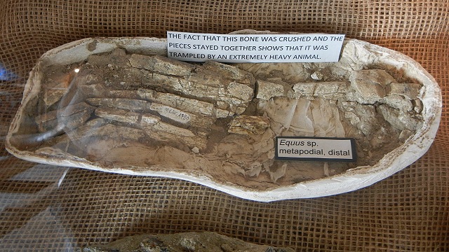
My previous side trips from I-5 have involved rocks, but that's not all there is to geology. This suggested route, an alternative to taking I-5 straight south to Los Angeles, will expose you to the southern Great Valley's hydrology and many excellent, recently excavated fossils.
Start by exiting at Santa Nella -- not to patronize the garish set of businesses there, but to take state route 152 east. You'll go all the way across the valley to Route 99, then south from there to the "Grapevine".
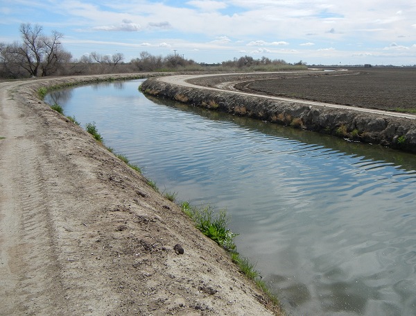
The first thing you'll notice, if you haven't already, is the profusion of canals in the Valley. They come in all sizes, ranging from the Edmund G. Brown Aqueduct (that's the first one you cross) down to uncountable numbers of field ditches. There are natural streams, but most of the water you'll see is in canals. This one runs parallel to the San Joaquin River about 6 miles west of Dos Palos Y.
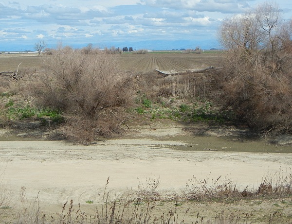
Right next to it, the river that gave its name to the San Joaquin Valley was a sandy ditch in March during the rainy season. In good weather you'll be able to see mountains wherever you are, either the Coast Range on the west or the Sierra Nevada on the east (as seen here). I believe that there is no place in California where mountains are not visible if the air is clear.

