upper waypoint

Side Trips from Interstate 5: San Emigdio Mountains

Save ArticleSave Article
Failed to save article

Please try again

The southern wall of the Great Valley is worth passing through instead of passing by. Photos by Andrew Alden

With all the construction going on south of Bakersfield on I-5, now is a time to seriously consider a scenic detour of two hours or so that avoids the congestion.

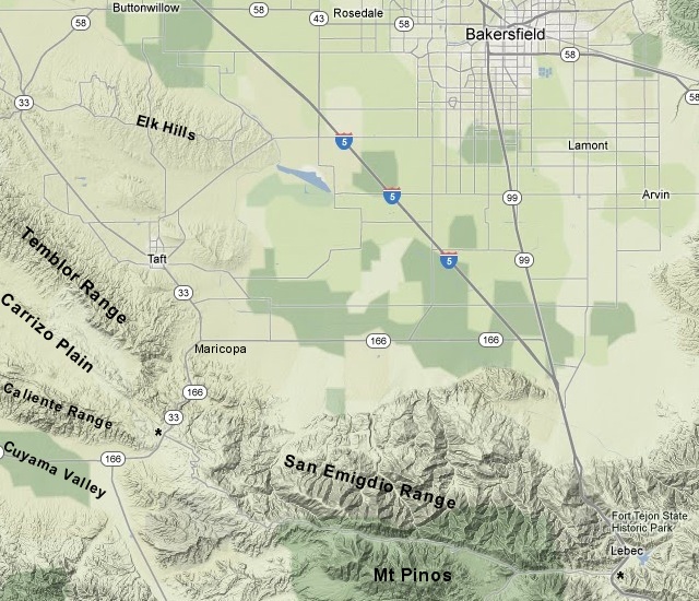
The key points are the little towns of Maricopa and Lebec, and the road between them is named Cerro Noroeste Road at its west end and Frazier Mountain Park Road at its east end. I've marked it with asterisks in this Google Maps clipping. How you get to Maricopa is up to you: state route 33 gets you there from Coalinga, as does state route 58 from Buttonwillow. Another road goes through the Elk Hills if you have extra time.

The geologic overlay (from the interactive state geologic map) shows that this road threads along the part of the San Andreas fault called the Great Bend. Compressive forces across the fault here have pushed up the land into mountain ranges, the San Emigdio range on the north and the Transverse Ranges on the south.

Pink is Sierra Nevada granite, brown is Precambrian rocks, other colors are mostly young (Tertiary) sedimentary and volcanic rocks.

I'll show you the sights from the southbound perspective. The San Emigdios get their name from the patron saint of earthquakes, and this area was badly shaken by the enormous 1857 earthquake that ruptured the ground from Parkfield to El Cajon.
Sponsored

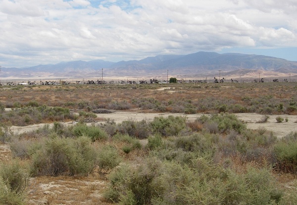
Haze often hides the range, but as you approach the west side of the Great Valley it emerges over the arid oil-producing country around Taft.

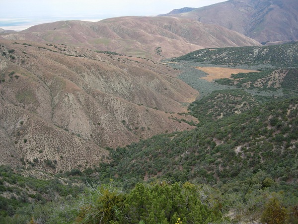
Cerro Noroeste Road begins as a turnoff from state route 33/166 just west of the fault trace. If you take an early opportunity to look north, you can follow the fault's path into the Carrizo Plain. The road ascends to a ridge with spectacular views. Northward you'll see a kaleidoscope of vegetation and lithology on the Great Valley's south edge.

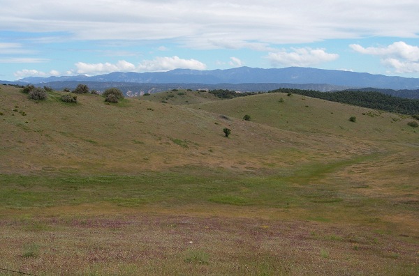
Southward is a succession of Transverse Range ridges that includes the Sierra Madre, San Rafael and Santa Ynez mountains, the last of which overlooks the Santa Barbara coast.

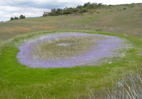
In springtime, the vegetation includes some choice vernal pools. This was in late May.

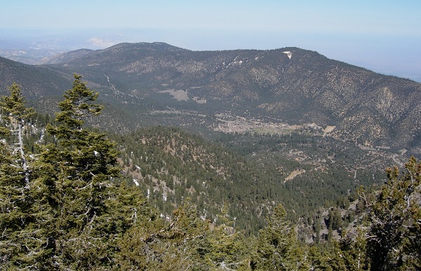
The high point of the road is Apache Saddle, just over 6000 feet. This is also the highest point on the San Andreas fault. On the other side is the resort area from Pine Mountain Club to Lake of the Woods to Frazier Park, right off I-5. If you take the time to explore, you'll find that the rocks are very different on opposite sides of the fault—that's because the southern side has been carried hundreds of miles west past the northern side, one earthquake at a time, for some 25 million years and counting. This is the view of the fault valley from Mount Pinos; the highest peak is Mount San Emigdio, flagship peak of the range.

(I showed you California's oldest rocks from Mount Pinos a few months ago.)

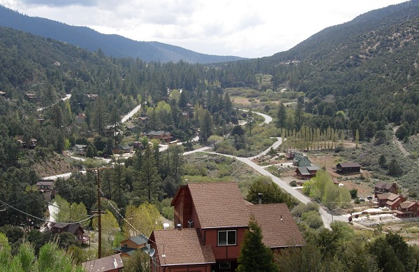
The fault valley itself is a dramatic showcase of tectonic features if you know what you're looking at. Its inhabitants sprawl around the fault trace, as they do almost everywhere. This view is looking west in Pine Mountain Club.

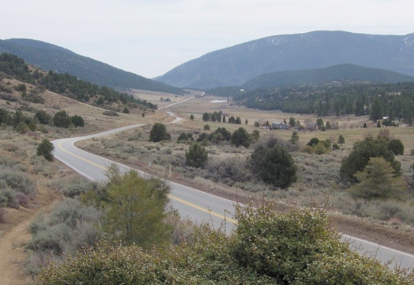
Farther along, you'll drive through Cuddy Valley. This photo was taken in March.

The fault trace runs along the foot of the hills on the opposite side. At the far end is a prominent sag pond, formed where two fault strands allow the ground to subside between them. The large peak is Frazier Mountain, which you can drive up if you return for a longer visit. And why wouldn't you? It beats creeping up the Grapevine.

lower waypoint
next waypoint