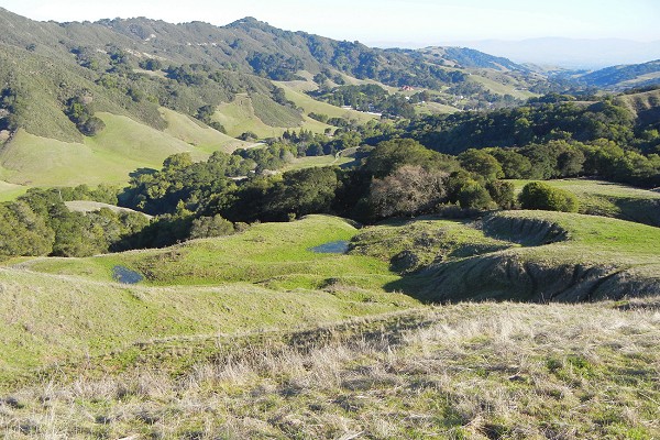
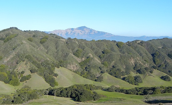
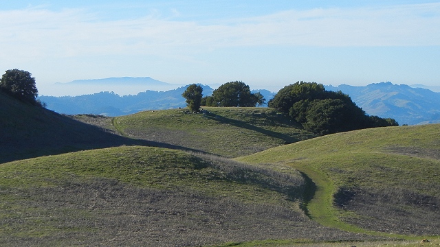
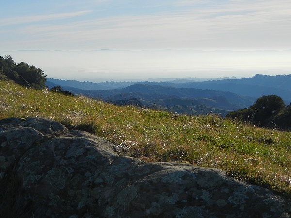
Each day thousands of people take the back road between Castro Valley and San Ramon through Crow Canyon. They all pass the road up Bollinger Canyon. A handful of people take that road to an unassuming park that holds the highest hills between Mount Diablo and the Bay. Here the rocks between the Hayward and Calaveras faults have been pushed together and rumpled upward into chaparral-covered ridges laced with smaller faults. Both quiet and rugged, Las Trampas Regional Wilderness is an archetypical California place.
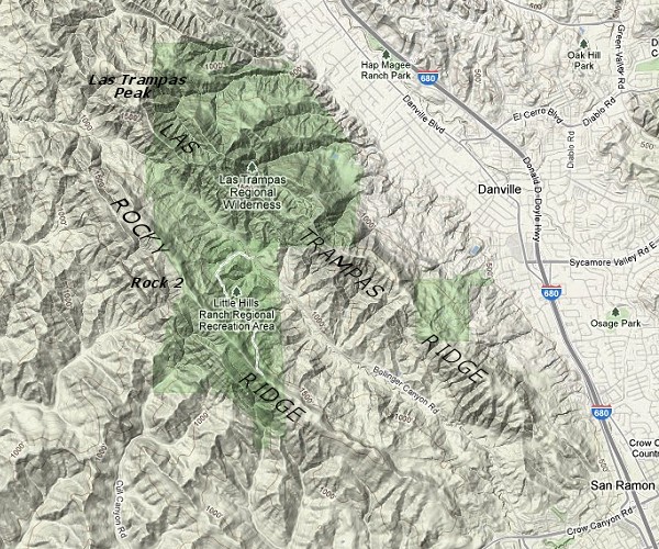
Here's the topography and park boundaries, as shown in Google Maps with a few landmarks labeled.
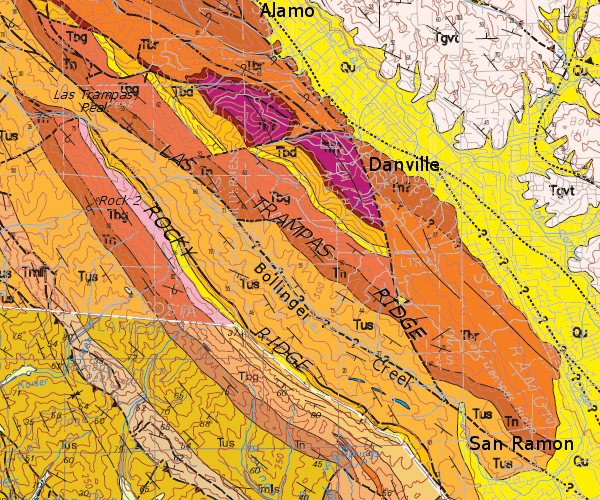
And here's the bedrock geology of the same quadrangle. Resistant rocks hold up the ridges while more yielding rocks underlie the valleys, aided by faults and folds.
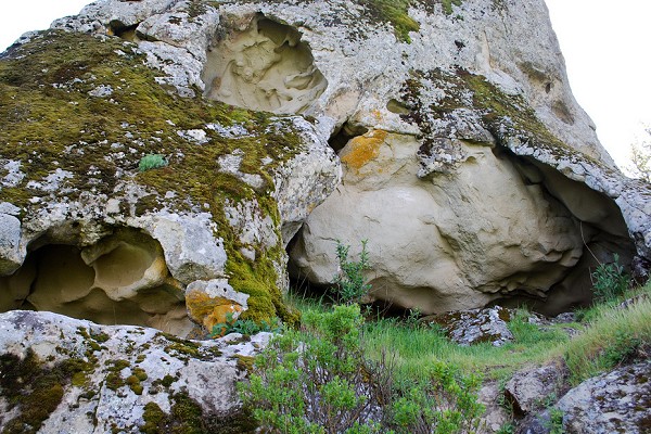
The paved trail up the west side of Bollinger Canyon climbs a thousand feet to Rock 2, the park's highest point. Before I took this trail I noted the boulders in the staging area, which include examples of massive sandstone and the distinctive shell hash of the Briones Formation.
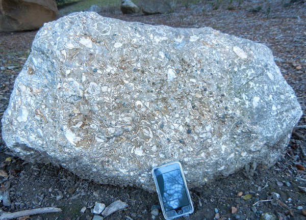
I've shown you this rock elsewhere, at Alum Rock Park. It's attractive to fossil collectors, but no such activity is allowed here.
