It might be appropriate that California water managers designate April 1 as the date when the Sierra snowpack is presumed to be at its peak for the season. It tends to be unpredictable. But this year’s bounty is no April Fool.
The water content of the Sierra Nevada snowpack currently stands at 164 percent of normal for this date (the official April 1 snow survey being held on March 30 this year, fudging for the weekend). Two years ago, it stood at 5 percent.
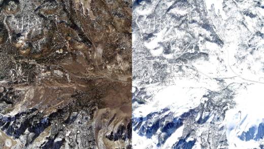
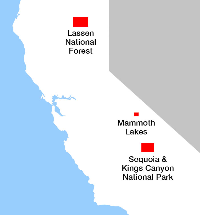
The difference is starkly illustrated in satellite imagery that KQED has compiled from Planet Labs, comparing three well-known parts of the Sierra this year, side-by-side with the same spots in 2015. (Use the vertical slider to compare side-by-side images.)
After a blitz of winter storms from late December into February, it looked like this year’s snowpack might be headed for a record. NASA snow hydrologist Tom Painter says it was like taking the entire average annual flow of the Colorado River and dumping it on the Sierra in about six weeks’ time. But the parade of Pacific storms has slowed to a trickle in March and California’s precipitation season winds down in April.
There’s another reason why this year’s snow is unlikely to surpass the record year of 1983: temperature.