upper waypoint

PHOTOS: Latest Winter Storm Lights Up Southern California Sky

Save ArticleSave Article
Failed to save article

Please try again

The latest winter storm lights up skies above Santa Barbara, March 5, 2019, as seen from Stearns Wharf. (Mike Eliason/Santa Barbara County Fire Department)

Another very wet storm rolled into Southern California with spectacular lightning, thunderclaps and downpours, but evacuations were canceled Wednesday as significant debris and mud flows did not materialize.

Numerous traffic accidents, localized street flooding and canyon rock falls snarled Los Angeles area traffic, but conditions were diminishing to showers as the system moved east.

The storm was the latest atmospheric river to flow into the state this winter. The National Weather Service reported “copious” lightning strikes as the long plume of Pacific moisture approached the coast late Tuesday.

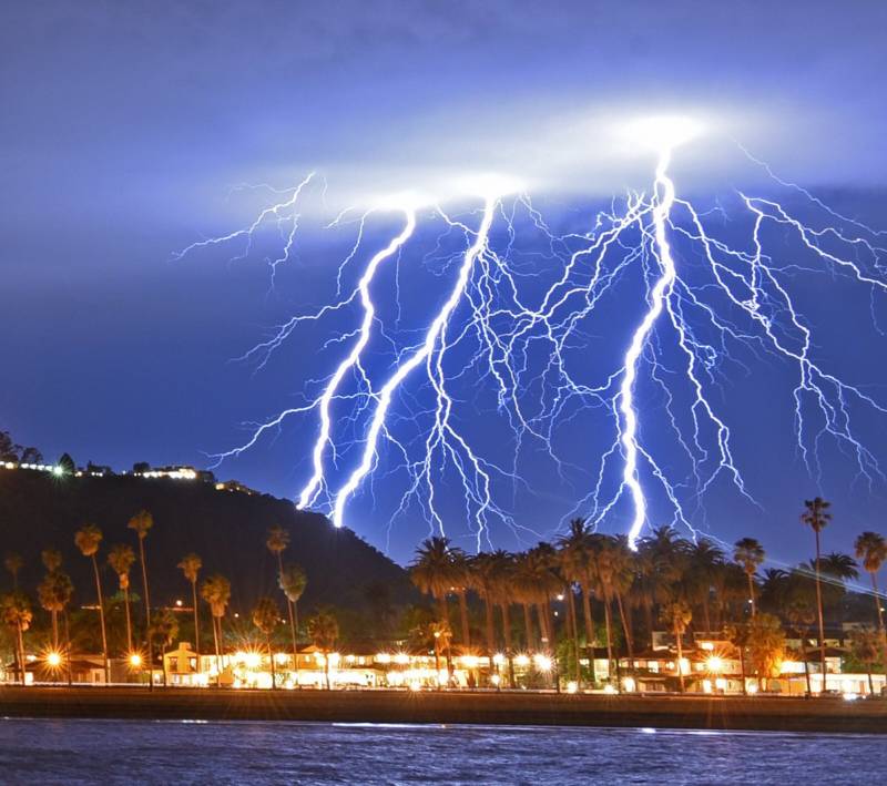
The sky over Southern California was streaked with bolts as thunder boomed and rattled the region. The weather service said it was “one of the more electrically active systems” seen all winter.
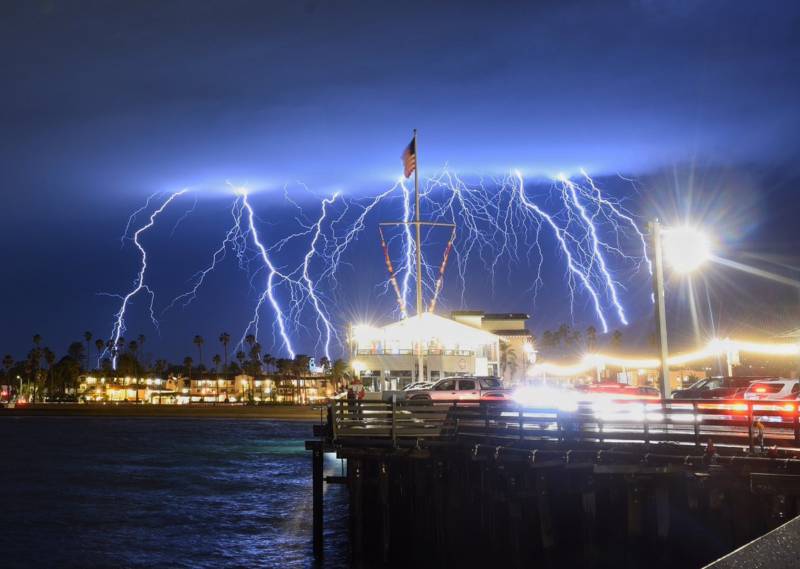
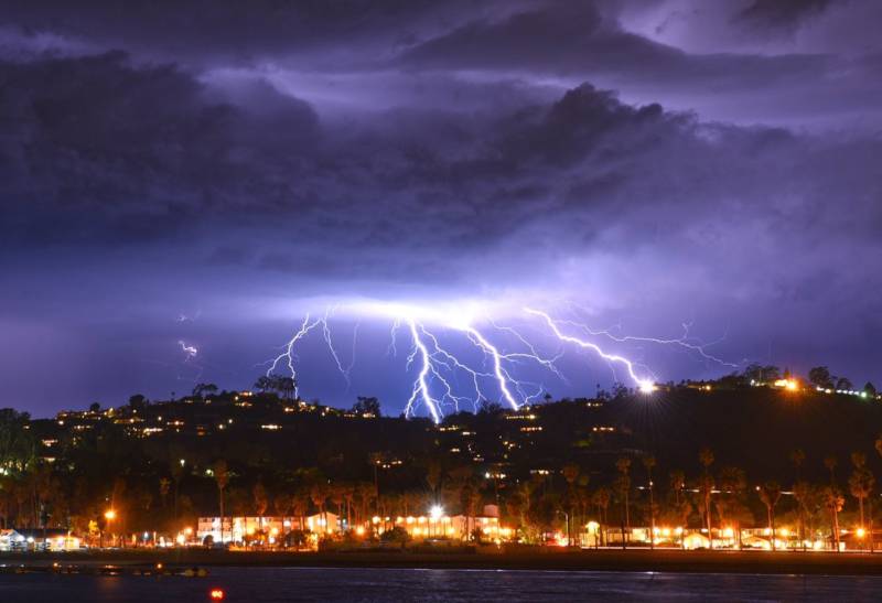
Lightning strikes in the skies above Santa Barbara, CA, March 5, 2019. (Mike Eliason/Santa Barbara County Fire Department)

“It was just thrilling. We were amazed,” said Jennifer Kennedy of Santa Monica, who was driving with her son near Los Angeles International Airport when the skies opened up.
Sponsored

“We started to see some really huge lightning strikes out over the water,” she said. “We wondered if it would affect flight operations at the airport.”

Delta Air Lines Flight 2432 returned to LAX “out of an abundance of caution” after encountering lightning Tuesday, the airline said. The 110 passengers were put aboard another flight to Seattle, a statement said, noting that airliners are designed to withstand lightning.

Santa Barbara County authorities were able to lift evacuation orders for an estimated 3,000 residents of communities below hills and mountains scarred by several recent wildfires, including parts of Montecito where a debris flow in January 2018 ravaged neighborhoods and killed more than 20 people.

The California Highway Patrol reported numerous incidents of roadway flooding in the mountains northeast of Bakersfield and in areas of the San Joaquin Valley, as well as in the Owens Valley at the foot of the Eastern Sierra.

A scenic stretch of Highway 1 near the popular tourist area of Big Sur was closed after the road surface broke apart while “several large boulders are perched above the coast route,” state transportation officials said on Twitter.

Visitors in Death Valley National Park were urged to use caution as roads flooded in one of the driest spots in the country. In a typical March, the Furnace Creek rain gauge in Death Valley records about 0.3 inches of rainfall. In a 24-hour period between Tuesday and Wednesday, the same gauge measured 0.84 inches, the weather service said.

With just two weeks left in the season, California is flush with water and a vital snowpack that’s significantly above normal, and drought and abnormal dryness have been pushed to the fringes of the state.

One inch of rain fell in downtown Los Angeles as of 2 p.m. Wednesday, breaking the previous record for the date of .88 inches set in 1884, the weather service said.

With showers still occurring and more rain in the near- and long-term forecasts, downtown LA was nearing 18 inches so far this season. That’s more than 6 inches above normal.

Snow continued to fall in the Sierra Nevada, where winter storm warnings were to remain in effect for high elevations until early Thursday. The Mammoth Mountain ski resort reported more than 51 feet of snow on its summit so far this season.

lower waypoint
next waypoint