upper waypoint

Unusual 'Winter-Like Storm' Pelts San Francisco Bay Area, Sierra

Save ArticleSave Article
Failed to save article

Please try again

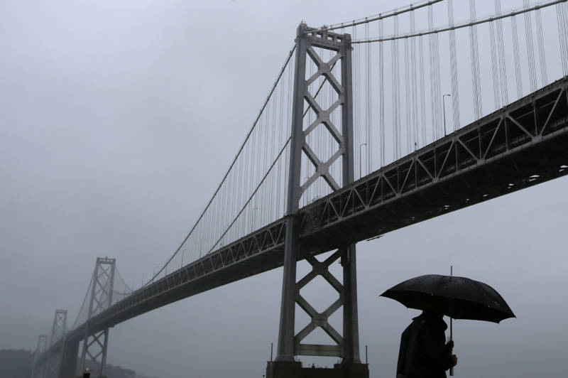
This December 2014 storm took place in a more typical month for Bay Area precipitation. But the current forecast calls for cumulative monthly precipitation to total more mid-month than is typically seen for all of May.

What the National Weather Service calls a “winter-like storm system” has pelted the North Bay with 1-2 inches of rain in the past 24 hours and lesser amounts throughout the Bay Area, with more precipitation forecast into the night.

Isolated thunderstorms are still in the picture, with potential for “periods of brief heavy downpours and small hail.”

The NWS has noted unofficial May 15 rainfall records at the Northern California precipitation capital of Venado and the Santa Rosa and Oakland airports.

“Needless to say the much hyped anomalously wet May system did pretty well,” the NWS said dryly amidst the rain.

Coming up: A break in the wet Thursday night and Friday, then  … wait for it … another storm on Saturday.
Sponsored

Meanwhile, a winter storm warning remains in effect across the Sierra until 6 a.m., Friday. In the Northern Sierra, “travel will be difficult to impossible,” the NWS says. Those with travel plans across the mountain range “should prepare for occasional winter driving conditions, including chain controls, and plan for extra travel time.” Temperatures will also be colder than usual. Up to 2 feet of snow could accumulate in parts of the Central Sierra.

lower waypoint
next waypoint