After the event, Gordon said methane emissions are important to track, but that there are a “fairly small number of actors in California that emit most of the unregulated methane.”
Meaning, it’s not really a matter of detection but regulation. Still, the satellites can be useful in other ways, she said. “There are all these other things that satellites can do, and the technology works on a micro scale.”
For example, the state can use the satellite to determine chlorophyll levels in vegetation, which can help identify if a parched forest is a wildfire risk. “How close is the vegetation to the built infrastructure? Where do we need to harden those structures or do vegetation management? That’s huge. That’s fire management, basically.”
PG&E, the state’s largest electrical utility, now uses NASA’s Aqua, Terra and VIIRS satellites in its effort to prevent catastrophic wildfires.
Brown originally mentioned the satellite during a barn burner of a speech at the American Geophysical Union conference in San Francisco in 2016. His comments were in response to reports that Trump could end NASA’s role in climate research.
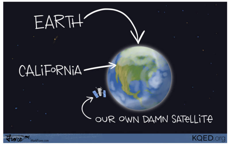
“If Trump turns off the satellites, California will launch it’s own damn satellite,” he roared. “We’re going to collect that data.”
Last year, Brown’s office told reporters the satellite would be developed in conjunction with San Francisco-based Planet Labs and launched by 2021. A representative of the company said it is still involved in the project but did not have any updates, beyond what it wrote in a blog post last September.
“The partnership aims to achieve a long-term, sustainable model for developing satellite technologies that would enable us to collect certain climate data to encourage better decision-making,” the company wrote. “With accurate measurement of and greater transparency on climate data, governments, businesses, scientists, and citizens around the world can develop more targeted and effective mitigation strategies.”
In an email, Jenn Phillips, a senior scientist with the Governor’s Office of Planning and Research, said the project is being paid for by Overlook International Foundation and the Grantham Foundation, but “costs are difficult to estimate at this stage.”
“It will be a very compact unit (about the size of a shoebox),” she wrote. “The cost of these smaller satellites is orders of magnitude lower than the older much larger satellites (and rockets) that were common even a decade ago.”
Gordon said the state has yet to fund the satellite beyond paying for time to research its potential.
The data a satellite would provide is more important than ever, Gordon told the Bloomberg audience, as California is dealing with a range of climate-related crises, from contaminated drinking water to catastrophic wildfires.
“Today, the state is dealing with the liability, the risk, the cost,” of climate change, she said.