Even if PG&E’s response to the Bay Area’s current winds is unprecedented, the winds themselves are not.
These autumnal “Diablo winds” visit the region roughly 3 to 5 times every year, says James Matthews, a meteorologist with the National Weather Service.
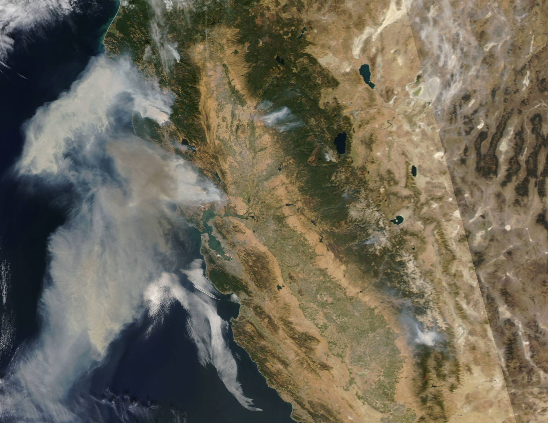
“But not of this magnitude,” he said. The winds have not blown over such widespread an area since the 2017 Wine Country Fires. Matthews says Diablo winds this strong can be expected every 2 to 5 years.
Fire Danger Is High in Fall Months
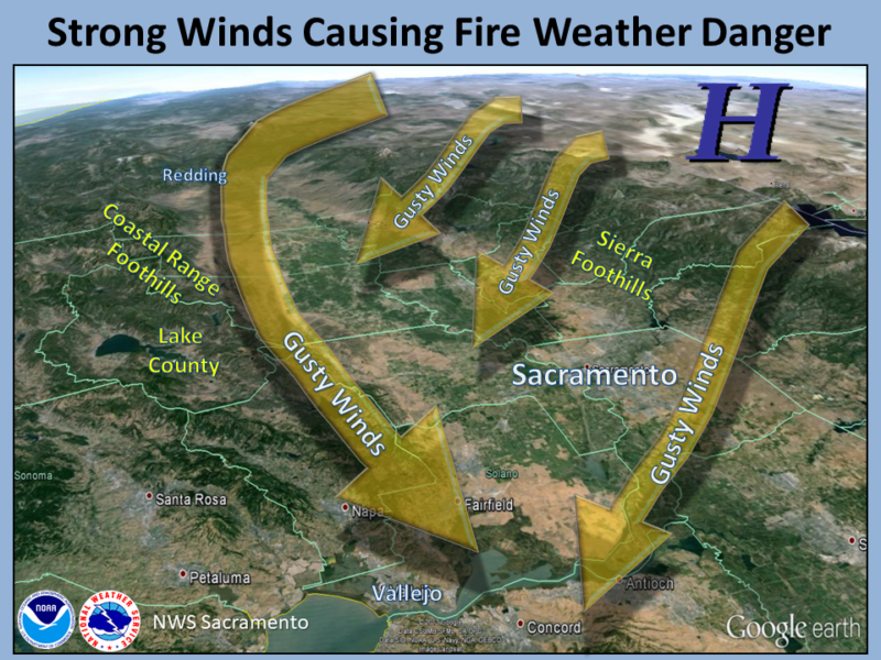
It’s the change from summer to fall that triggers the potential for such strong winds. During summer, winds come into California off the ocean, bringing cool, moist air. These are called onshore winds.
But as the days shorten, the high pressure that pushes winds inland from the Pacific weakens, and instead, higher pressure cold air moves into the Great Basin. This pushes winds that travel west over land, traveling up and across the Sierra Nevada, and down the other side, right at the time when California is at its driest. These are the dangerous offshore Diablo winds.

It is these downslope winds that can create the conditions for catastrophic blazes. As the heavy, cold air descends, it becomes warmer, drier and faster, gaining speed that can carry an ember hundreds or thousands of feet.
The warm, dry winds race down the mountainsides, becoming warmer and drier as they go, skittering through trees and brush that typically haven’t had rainfall for 6 months or so.
It’s also why autumn is the most dangerous time for fire in California, even if temperatures may be hotter during the summer. All five of the state’s deadliest wildfires were in fall months, as were four of the five most destructive. The fast-moving dry winds of fall create the conditions that can turn a small spark into a grim firestorm.
