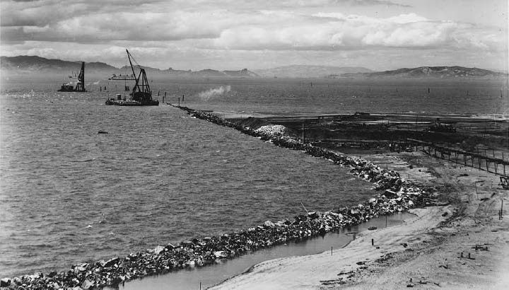
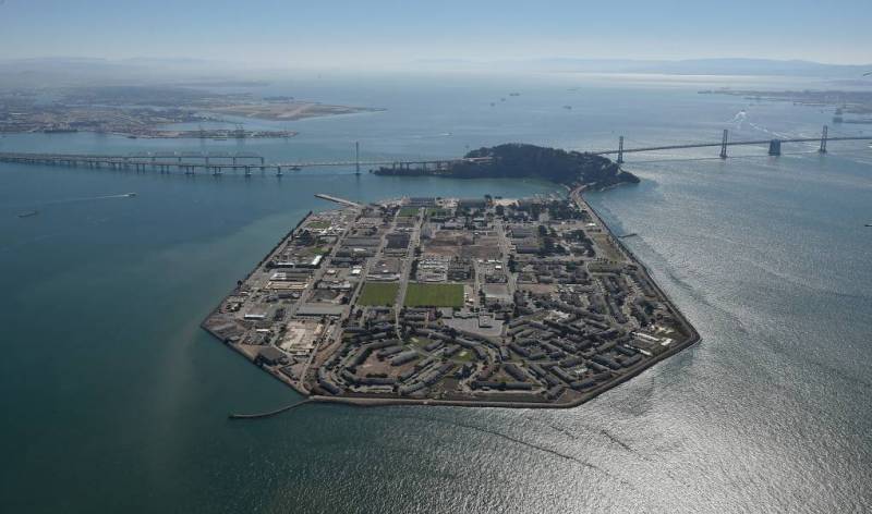
Treasure Island is a man-made polygon of 400 acres constructed by engineers on a shallow reef in the middle of San Francisco Bay.
The low-lying island, as well as neighboring Yerba Buena island, are also the site of a multibillion-dollar neighborhood development. The project calls for 8,000 new homes and condos that could house more than 20,000 people, 500 new hotel rooms, and over 550,000 square feet of commercial space.
But how will climate change affect these plans?

Rising Water, Sinking Land
This year, researchers with the U.S. Geological Survey published a comprehensive climate change study on the impact of rising sea levels, storms and erosion on the California coast.
The study found that the homes of hundreds of thousands of coastal residents and $150 billion worth of property in California are threatened by rising water levels.
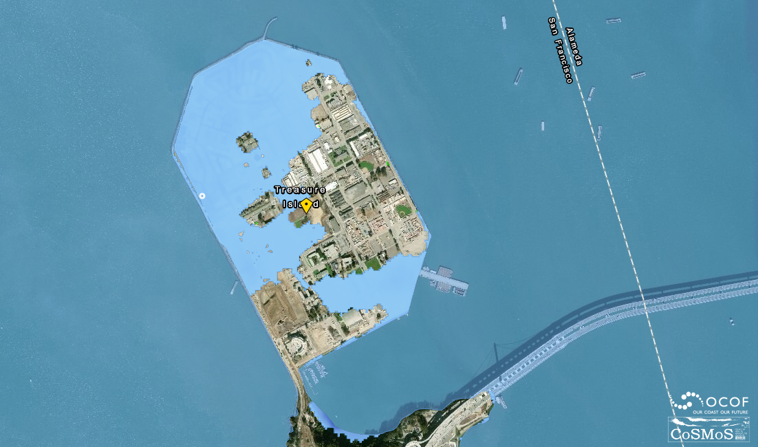
“Treasure Island is one of the most vulnerable locations in the entire state,” said Patrick Barnard, lead author of the study and a coastal geologist with USGS. “Not only because it sits right above sea level; [the island] is all fill. The ground itself is sinking.”
He says Treasure Island faces several threats:

The water in San Francisco Bay is rising. Average high tides could increase by about 3 feet by 2100 under mid-range sea level rise scenarios, according to studies by the National Research Council and the Intergovernmental Panel on Climate Change.
Storm waves push water levels even higher. Severe weather with a 1% chance of occurring in any year, called a 100-year storm, can push tides an additional 3 feet higher.
Treasure Island’s own construction. Engineers built the island atop a bottom layer of mud. The weight of earth and buildings on this gooey muck compresses it like a sponge and over time causes the island to sink. Treasure Island is descending at about the same rate as the sea is rising, Barnard says. So, that equates to “about twice as much sea level rise as a static shoreline.”
Building High
In 2011 the San Francisco Board of Supervisors approved a plan to re-engineer Treasure Island in order to stabilize the land and stop it from sinking.

The first step: Using long straws, or what they call wick drains, engineers siphon off water from the mud as it compresses. When the water escapes from the straws onto the surface of the island, it evaporates. This speeds up the natural settlement of the land and prevent it from sinking.
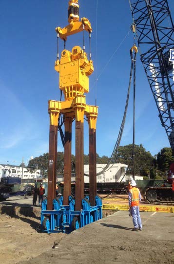
Step two: Towering cranes slam long, vibrating beams into the ground. The vibrations cause the land to settle quicker.
Step three: Workers weigh the island down with mounds of earth. The weight compresses more water out of the bay mud.
To mitigate flooding damage from rising waters, the plan calls for raising the grade of the island and setting buildings back from the shoreline.
And, because the rise in the water level is projected to accelerate toward the end of the century, the plan asks Treasure Island residents to pay an annual fee toward future engineering work.
“Build high. Monitor. Give yourself ample space and ample money to adapt as you go forward,” said Bob Beck, director of the Treasure Island Development Authority, summarizing the strategy.
The development authority has finished several years of this geotechnical work. Developers began constructing condos on Yerba Buena Island this year, with more residential construction expected on Treasure Island in 2020.
