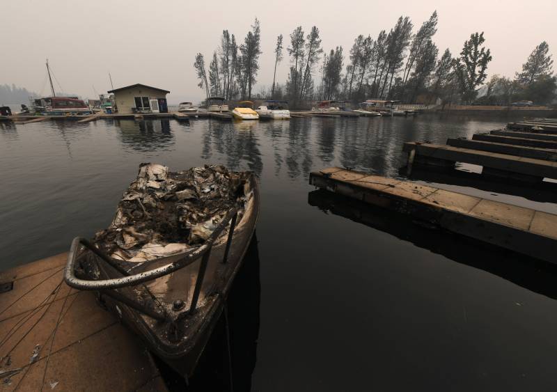
According to official numbers, the 2018 California wildfires caused 106 deaths. That was the season the Carr Fire destroyed towns around Whiskeytown Lake in Shasta County, before jumping the Sacramento River and blowing into Redding as a fierce fire tornado. A few months later the Camp Fire in Butte County caused unprecedented destruction in the rural communities of Concow and Paradise. But the damage did not stay in areas directly charred. Those fires also released plumes of toxic wildfire smoke which coated much of the state. And the economic and health damages these flames and plumes caused rippled out beyond counties into the rest of the state and the nation.
Researchers from UC Irvine and around the world now estimate that, when the harm of air pollution is folded in, the 2018 California wildfires led to thousands of additional deaths: 3,652.
“I think a problem historically is that we’ve been counting what’s easiest to count, said Steven Davis, a scientist at UC Irvine.
“[That’s] the numbers of buildings destroyed or the people that were literally killed in a fire, because they were in a building that burned. It’s a lot harder to follow the tendrils of literal smoke or the economic damages that permeate throughout the global economy.”
A study published Dec. 7 in Nature Sustainability by Davis and an international team seeks to do just that — convey the comprehensive cost of wildfires. The dangers of wildfire smoke, and the associated death toll, are among the most eye-popping.
“For example, there could be a person with severe respiratory disease and the increased air pollution during one of the wildfires in 2018 could have triggered the event that led to their death,” wrote Colleen Reid, who studies the health impacts of smoke at the University of Colorado Boulder, but was not involved in the current study.
Those deaths, she says, “would be coded as respiratory distress or heart attack […] and it is possible that death would not have happened if the air pollution had not been elevated.”
Davis and his colleagues used a model developed [PDF] by the Environmental Protection Agency, with input from air sensors to satellite data, to calculate these broad health impacts.

