Why Atmospheric Rivers Are Becoming More Dangerous
Swain’s most recent study zoomed in on California and scrutinized the moisture, temperature and wind speeds of the strongest atmospheric rivers from ground level to their upper boundary, about two miles high, to assess the risks of extreme rain and snow.
Since they are infrequent, it’s hard to get a statistically valid idea about how they have changed up to now, even when grouping the data from multiple atmospheric rivers together. But figuring out the mechanics of individual events at a detailed level will help predict how they’ll behave in a warmer climate in the future, he said.
Swain’s analysis delivered detailed projections of increased precipitation from atmospheric rivers: 25% to 50% more across the San Joaquin Valley, a 25% to 30% increase in the northern Sacramento Valley, and 80% more in the Owens Valley, east of the Sierra Nevada.
“We were looking at the really rare ones,” he said of the atmospheric rivers he studied. “That’s part of why we did this study, looking at events that happen a couple of times per century.”
By comparing the results of their analysis with observations from historic extreme storms, “It’s almost as if we had a 400-year-long record,” he said. “It’s the best we can do.”
In the strongest atmospheric rivers, the study found a 10% to 40% increase in total accumulated precipitation. It found an even greater increase in hourly maximum precipitation rates that are above the level that could be caused solely by the increased water vapor in a warmer atmosphere, which means global warming is intensifying atmospheric rivers beyond just adding water, Swain said.
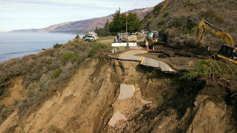
The large increase in maximum hourly precipitation intensity is critical because short blasts of intense precipitation pose a much greater risk of flash flooding and other hazards, such as debris flows and mudslides, than do equally large accumulations occurring over a longer period of time, the study found.
They also found that rain and snowfall from atmospheric rivers is increasing the most, proportionately, in areas that were previously sheltered from the phenomenon, like in the rain shadows on the downwind, lee sides of mountain ranges. That could increase unexpected flood and water management challenges in areas where they are not expected.
“These findings imply substantial challenges for water and flood management in California, given future increases in intense atmospheric river-induced precipitation extremes,” the researchers wrote in their study.
Swain said it’s also important to remember that future atmospheric rivers in a warmer climate will change snow to rain, which increases the risks of flooding even more, based on current expectations of the snow-rain ratio. Snow, of course, piles up and melts slowly, while rain runs off into streams and rivers right away.
With continued global warming, the study suggests that streamflows could increase beyond what would be expected just from the precipitation increase alone, because “a substantially greater fraction of precipitation is likely to fall as rain rather than snow,” the study concluded.
For Swain, the study elicited deep concerns about the prospects for an incredibly damaging megaflood.
“By 2060, there is a 50-50 chance of seeing a megastorm on the scale that swamped the Central Valley,” he said. “Given that would be a catastrophic flood event, I don’t think we’re fully prepared for that. For me, that almost means that, by late century, it’s almost an inevitability. That’s pretty amazing for an event that happened 5 times per millennium up to now.
“I’m not going to call these findings good news,” he said. “But they could help start discussions about how to mitigate the risks.”
