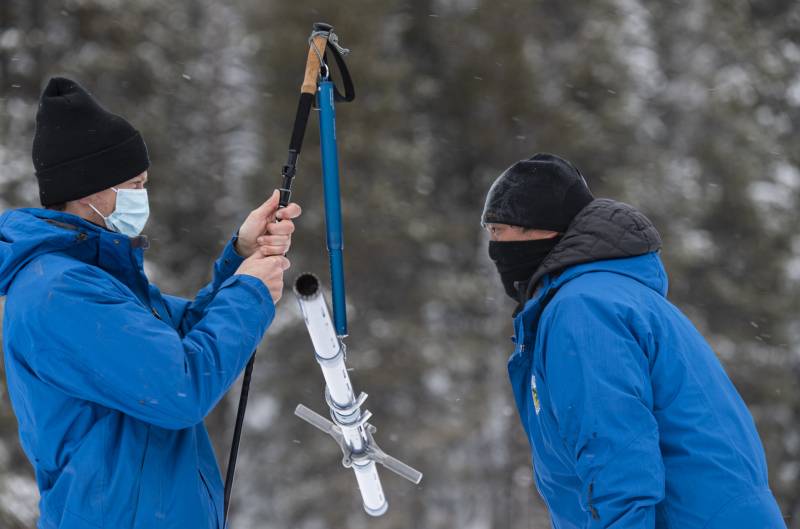
Sean de Guzman, chief of DWR’s Snow Surveys and Water Supply Forecasting Section, recorded a snow depth of 63 inches and a snow-water content of 17 inches at Phillips Station snow course, south of Lake Tahoe.
The statewide automated snow sensor network as of Wednesday morning reported the snowpack at 70% of average.
“The state has experienced a series of storms over the last couple of weeks that brought a significant amount of rain and snow,” de Guzman said. “However, these storms were not nearly enough to make up the deficit that we have accumulated over the last few months.”
A sustained La Niña, which is cold water on the surface of the Equatorial Pacific that affects weather across the globe, has stalled a ridge of high pressure over California and diverted storms that might normally have pelted the state over the Pacific Northwest instead.
Reporter Paul Rogers of the Mercury News notes California’s current water story needs to be told in two parts.
While the recent atmospheric river brought blizzard conditions across the Sierra, the Bay Area is “stuck in one of the worst two-year rainfall deficits seen since the 1849 Gold Rush,” Rogers writes.
At the beginning of February, San Francisco had received only about 17 inches of rain since July 1, 2019. From the Mercury News:
… San Francisco is 20.13 inches behind normal for last winter, and this winter so far, combined. That makes the past 19 months the third-driest such period in San Francisco in 172 years, when records first began in 1849. …
The only two similar 19-month periods that were drier than the current one were from July 1975 to January 1977 — the middle of a historic drought — and July 1897 to January 1899. The rainfall deficit is drawing increasing attention from water managers, who say that unless February and March bring numerous major storms to boost reservoir levels, water restrictions may return to Northern California communities this summer.
“Last year we began digging a big hole. And this year we continued digging,” meteorologist Jan Null told Rogers. “We would need something monumental and probably catastrophic to get out of it.”
Meteorologists say California’s February rain outlook does not look good, with high pressure and a likely return to below average precipitation for two weeks, at least.


