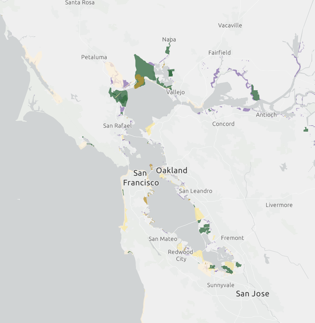
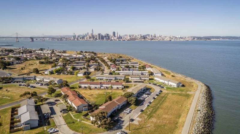
About half of the shoreline running along the lip of San Francisco Bay has no plans in place to protect against future rising seas. That’s in terms of the cost of preparing the region for the climate effect by 2050, according to regional agencies’ analysis and a map released this week.
“The big story is that there’s obviously still a lot of work to be done,” said Todd Hallenbeck, lead geographic information systems (GIS) specialist at the Bay Conservation and Development Commission, or BCDC.

For the first time, this map gives Bay Area residents a visual presentation of the region’s progress in adapting to rising sea levels brought about by anthropogenic climate change.
The map shows that the region is nowhere near the $110 billion price tag it will take to prevent 4.9 feet of inundation by midcentury. This number includes preparing for around 1.5 feet of sea level rise and storm surge, but is still a middle-of-the-road preparation level. Other climate models predict more than 6 feet of sea level rise by the end of the century if the burning of fossil fuels globally goes unchecked.
“The project map shows where adaptation activities are occurring and also, importantly, where there are gaps in project planning along the bay, and where we might want to concentrate attention,” Hallenbeck said.
This map offers citizens crucial information about projects and plans that either protect their neighborhoods or leave them vulnerable to rising seas.
“The job’s not done,” Hallenbeck said. “A lot of these projects are in planning stages. They’re not necessarily in construction stages, either.”
BCDC, the Association of Bay Area Governments and the Metropolitan Transportation Commission created the map. The cohort is an essential allyship because rising seas pose an existential dilemma for the Bay Area, with its nearly 8 million people and infrastructure — highways, bridges, sewer plants and power lines — that supports human life here.
“I was pretty surprised by the amount of shoreline that does have active planning occurring,” Hallenbeck said. “I could see that being a lot less in some areas of the country.”

