upper waypoint

California's Snowpack at Record Lows, One-Quarter of Normal in First Measurement of Year

Save ArticleSave Article
Failed to save article

Please try again

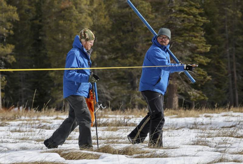
Two people in blue jackets walk through a snowy field holding equipment.
Right, Sean de Guzman, manager of the California Department of Water Resources Snow Surveys and Water Supply Forecasting Unit, and Anthony Burdock, water resources engineer, walk in the meadow during the measurement phase of the first snow survey of the season at Phillips Station on Jan. 2, 2024. (Xavier Mascareñas/California Department of Water Resources)

Standing on a patch of snow near Lake Tahoe, Sean de Guzman, manager of the state’s Snow Surveys and Water Supply Forecasting section, pierced the snow with a metal tube to detect how much snow was on Tuesday’s ground. He then added the number to a statewide database of snow measurements.

The bad news? He found the snowpack across the entire Sierra Nevada is just one-quarter of normal. One year ago, he stood on about five feet of snow here when the snowpack was at 177% of normal.

“Today’s result shows that it’s really still too early to determine what kind of year we’ll have in terms of wet or dry,” de Guzman said. “Luckily, our statewide reservoirs are still well above average this time of year, thanks partly to how wet it was last year.”

The other good news is that meteorologists expect a winter storm to pile up more than a foot of snow on the Sierra Nevada tonight and tomorrow morning.

“A cold front is coming in, so the storm is gonna be a little bit colder and snow elevations lower,” de Guzman said. That’ll add snow to the pack.
Despite these initial measurement numbers, the Climate Prediction Center’s seasonal outlook for January, February and March still shows an increased chance of above-normal precipitation and snow, partly because this year is an El Niño year. With that climate pattern in mind, there is a possibility that storm after storm could batter the state, ultimately building up the snowpack to record levels.

“Right now, California’s preparing for both extreme conditions, either extremely dry or extremely wet conditions,” he said.

However, not all El Niño years guarantee a wet winter because they “span the gap from dry years to wet years. So by itself, El Niño’s really not a good predictor of the water year,” state climatologist Michael Anderson said.

Sponsored

This year, UCLA climate scientist Daniel Swain said a warm December led to “an absolutely abysmal snowpack.”

“What this means, as of today, is that the snowpack is at or below all-time record low numbers for the beginning of January,” he said. “I know that it is pretty alarming.”

He said there is a possibility of a sequence of three to five storms in the near future that could help build the snowpack, but he said there may be snow drought conditions this winter in part because of warmer temperatures.

“I don’t necessarily think this is going to be a good snow year,” he said. “In fact, it might end up being a pretty bad snow year.”

When looking back to 1978, UC Berkeley Central Sierra Snow Lab’s Andrew Schwartz said snowfall in California is declining about every month and rainfall is increasing. Those warmer temperatures and decreasing snowfall could complicate how the state stores water for the rest of the year. The snowpack is considered a frozen reservoir that slowly melts into rivers, streams and reservoirs, but if too much snow comes as rain instead, it could overwhelm reservoirs and may complicate water storage for drier times.

“This really shows us that our snow season is getting shorter,” he said. “We’re going to have to plan for shorter periods of snowpack and the complications that may bring with our management of water resources.”

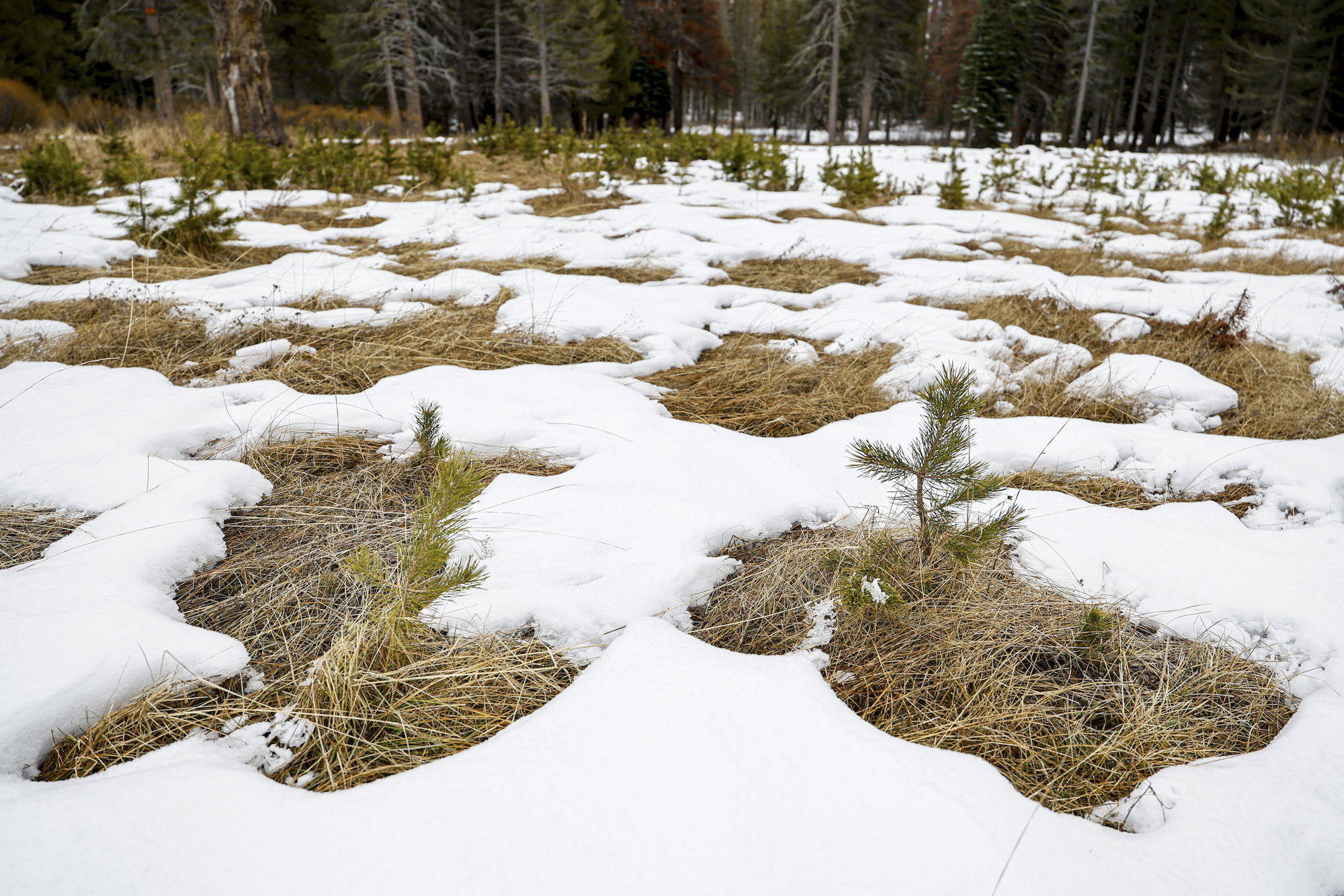
An open field with patches of snow and bare grass.
So far, the snow levels are lacking depth, with a number of bare spots in the meadow where the California Department of Water Resources conducted its first snow survey of the 2024 season. (Andrew Nixon/California Department of Water Resources)

In the Bay Area, up to an inch of rain could fall in the first storm this week, said National Weather Service meteorologist Dylan Flynn. He expects wind gusts of up to 30 miles per hour and a slight chance of thunderstorms overnight.

However, the storm is not a slow-moving storm riding an atmospheric river, which can dump rain, creating flooding issues.

“It’s just beneficial rain to help our rainfall totals for the year, but we don’t really have a big flooding threat,” he said

Flynn forecasts two storm systems Friday and Saturday but said they will likely produce even less rain than today’s storm.

“But looking ahead over the next two weeks, that kind of trend is going to continue, where every three days or five days or so, there’s going to be another system that comes through and gives a good amount of rain,” he said. “But there’s nothing that looks like a major, major rain producer like we saw this time last year.”

lower waypoint
next waypoint