upper waypoint

Bay Area Heat Wave Will Be Hotter and Longer, Echoing the 1980 Scorcher

Save ArticleSave Article
Failed to save article

Please try again

People cool off on the Baker Beach in San Francisco on Aug. 15, 2020. The National Weather Service says this week's heat wave is nearing the record set in 1980, when San Francisco hit 97 degrees, with even higher temperatures inland. An excessive heat advisory is in effect for San Francisco until 8 p.m. Tuesday, followed by a heat advisory starting Wednesday. (Liu Guanguan/China News Service via Getty Images)

Updated 3:57 p.m. Tuesday

This week’s early autumn heat wave is beginning to feel a lot like one that set records across the Bay Area more than four decades ago, according to a National Weather Service meteorologist.

“The last time we had this level of atmospheric heat in October, it was a significant event; we just crossed that threshold this morning,” said Dylan Flynn of the NWS Bay Area office. “This is very similar to that 1980 heat wave, and some places are going to break their record.”

Flynn said this week’s heat wave will be hotter than originally predicted and “drag out into the weekend.”

Sponsored

Tuesday was forecast to be the hottest day of the week at 92 degrees in San Francisco, 95 in Oakland, 101 in San José and 104 in Livermore.

With temperatures already in the mid-90s by Tuesday afternoon, the weather service extended an excessive heat warning in San Francisco through 11 p.m. Wednesday.

“The southeast portion of the city has already hit 96 degrees,” said Joe Merchant, a meteorologist with the weather service’s Bay Area office.

Although it’s not likely to break the record of 97 degrees set in 1980 at the downtown San Francisco official climate recording station, temperatures could be the second hottest on record for the day, Flynn said.

An excessive heat warning is also in effect until 11 p.m. Wednesday for the North Bay Mountains, Santa Lucia Mountains, the Marin Coastal Range, Alameda County, Santa Clara County and Contra Costa County.

A heat advisory, which is less severe than an excessive heat warning, continues through 11 p.m. Wednesday for the Central Coast, portions of the North Bay valleys, San Benito County and Monterey Bay.

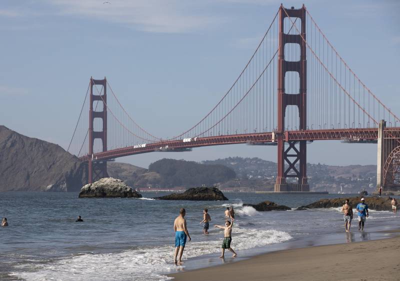
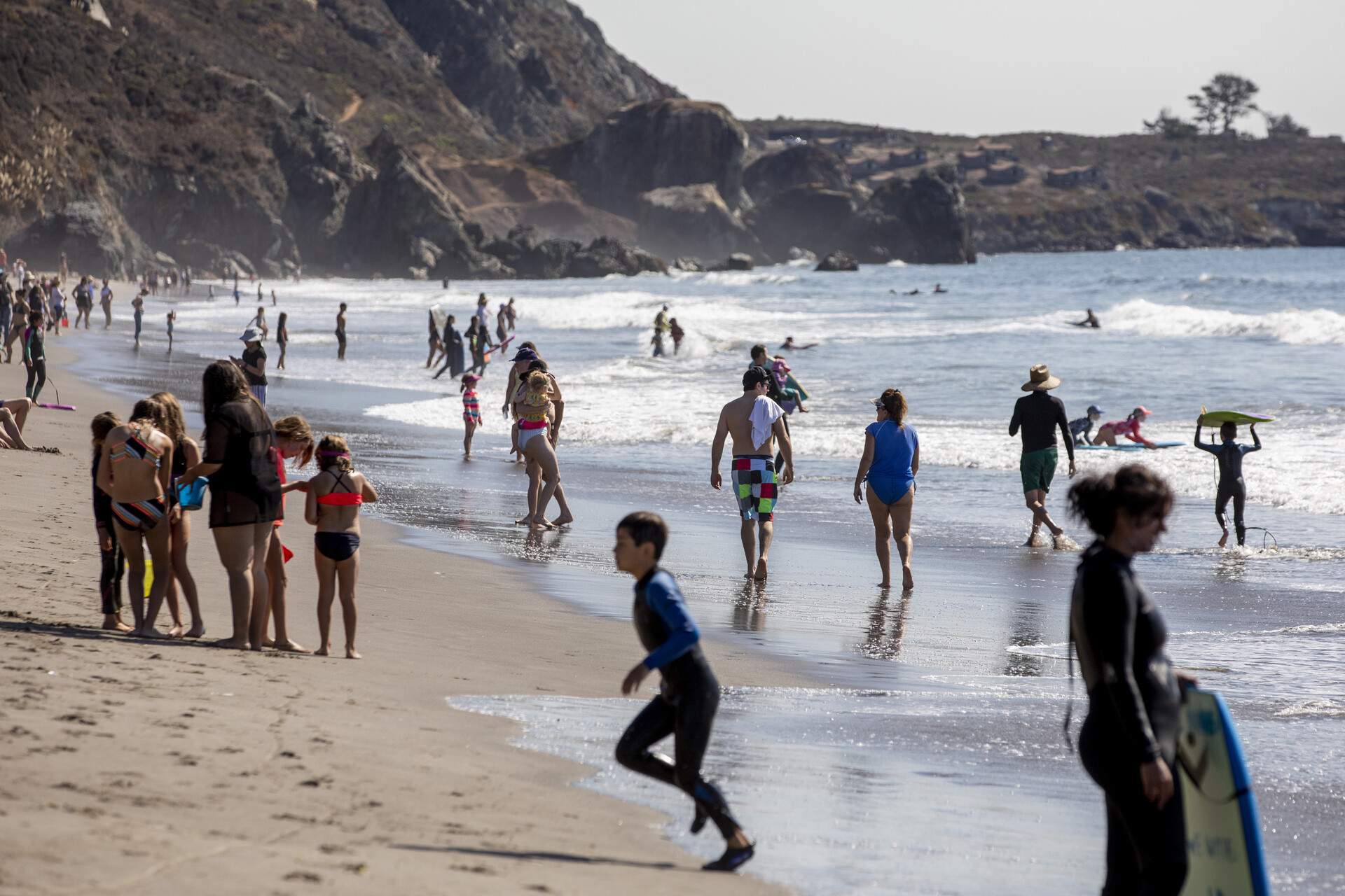
Daily high-temperature records were broken Monday in San Rafael, San José, Santa Rosa, Kentfield, Livermore and Redwood City. Similar areas could break daily records again Tuesday, and even Half Moon Bay could be added to the list as temperatures reach the 80s and 90s along the coast.

Flynn said an October heat wave isn’t abnormal, but human-caused climate change brought on by burning fossil fuels raises the average temperature. That played a part in San José, Livermore and Napa, which are all having their hottest summers on record this year, following a state and global trend.

A heat wave that pushes temperatures in San Francisco to 95 degrees, “if it happened a hundred years ago, it would probably only be something like 92 degrees,” Flynn said. “It’s not that the heat wave wouldn’t have happened. We would still have heat waves. It’s just that everything is a little bit warmer now.”

The weather service has also issued a red flag warning for portions of Monterey and San Benito counties for very low humidity and gusty offshore winds on Wednesday through Thursday.

“The fire weather danger is very high,” Flynn said. “Since we don’t have extreme wind speeds, we might not see widespread red flag warnings, but the fuels are really easy to burn.”

Forecasters warn people to find shade or cool relief whenever possible because the temperature could feel much hotter depending on how humid an area is to the human body, UC Berkeley climate physics professor David Romps said.

“As the temperature increases, that increased humidity is impairing the body’s ability to stay cool, and so our body gets more and more stressed physiologically,” he said.

The heat is expected to stay through Sunday, but coastal areas may begin to “get some relief” by Thursday as temperatures drop slightly due to the return of onshore winds.

“We’re seeing signs the weather pattern is going to be a bit more stagnant. Coastal locations will get a little reprieve from the marine layer beginning Thursday,” Merchant said.

lower waypoint
next waypoint