upper waypoint

Bay Area Heat Wave Is Sticking Around With Scorching Temperatures Into the Weekend

Save ArticleSave Article
Failed to save article

Please try again

People gather at Robert W. Crown Memorial State Beach in Alameda, California, with the San Francisco skyline in the background on May 26, 2020. This week's Bay Area heat wave, fueled by a persistent high-pressure ridge, is now expected to last through the weekend. Officials urge residents to stay hydrated and seek shade as temperatures remain elevated longer than forecast. (Ben Margot/AP Photo)

The Bay Area’s Aug-tober heat wave was supposed to have backed off by now, according to forecasts early in the week.

But that relief has just barely materialized, which was obvious to anyone who stepped outside or stuck their hand out of an air-conditioned car window and felt that still, hot air on Thursday morning.

It’s very warm, and it will be into the upcoming weekend.

Sponsored

“The big picture still remains the same: high pressure overhead, clear skies, little to no marine layer, warm airmass all contributing to another impactful day with dangerous heat,” the National Weather Service’s Bay Area office wrote in its morning forecast discussion.

Forecasters noted that, yes, “it did technically” cool down from the peak of this heat wave on Tuesday and Wednesday, but temperatures were still very warm overnight across the region and “provided another night with little to no relief.”

An excessive heat warning, which notes potentially life-threatening conditions or major impacts to travel, is extended through 11 p.m. Friday for the inland Bay Area and Central Coast, with highs that could approach 110 degrees. Meanwhile, a heat advisory covers the coastline and city of San Francisco.

All this heat is being caused by a high-pressure system, which ocean air will begin to nudge out — but not until the end of the week. Crystal Oudit, meteorologist with the weather service in the Bay Area, told KQED that people will begin to feel relief by Sunday and Monday.

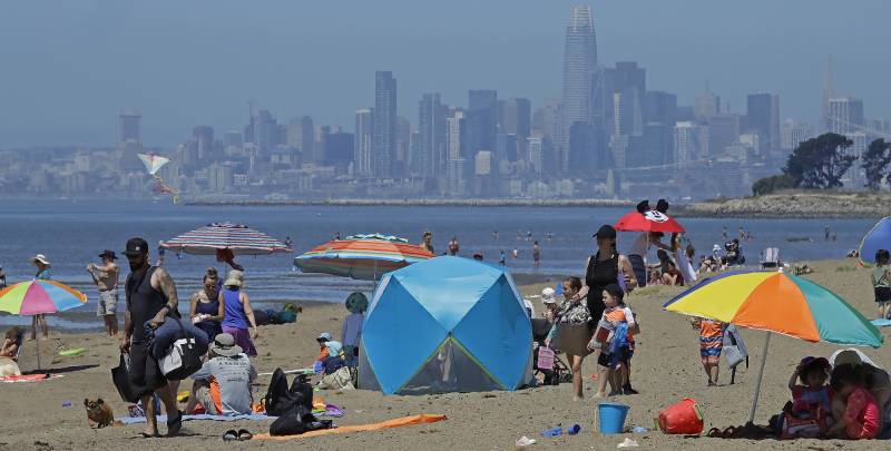
“Temperatures decrease by a couple of degrees each day into the weekend, and things start to look better on Monday depending on where you are,” she said. “Especially for coastal areas, you’ll start seeing that cooldown again.”

The long heat wave has also dialed up the fire risk by baking forests and brush across the region, which will linger into next week.

Thankfully, winds have remained relatively light in most places.

The National Interagency Fire Center noted in its latest outlook that, because of the warm nights, vegetation across “all areas east of the coast” has not had a chance to really recover from the hot afternoon temperatures, especially in the foothills and at higher elevations.

The weather service has a red flag warning remaining in effect for the interior of Monterey and San Benito counties until 8 p.m. Thursday.

“Elsewhere, near critical fire weather conditions remain,” the forecast said.

lower waypoint
next waypoint