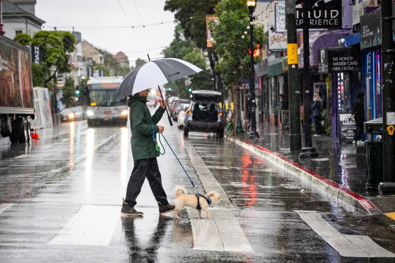
“The highest coastal mountains in northern Sonoma County will probably get close to 2.5 inches. And then as you go further south, much less,” he said, with about 1.25 inches expected to fall in Santa Rosa, half to three-quarters of an inch in San Francisco and the East Bay, and less than a quarter of an inch in San José.
After a bit of a pause, another system is likely to bring more rain to the area next Wednesday, he said.
“So it’s not going to make up the deficit that we saw, with as dry as January has been,” he said. “But at least this puts us in a step forward to seeing some of that rain come back into the forecast.”
As gray skies return to the region in the coming days, “it’s going to feel like winter again,” Murdock said.
The subtropical moisture the upcoming system will likely tap is also expected to lift this week’s frigid nighttime temperatures that have led to ongoing frost advisories and freeze watches and could bring some fresh snow to parts of the northern Sierra, including the Tahoe region for the first time in weeks.
Such a dry start to the year, in what is often the wettest month, may come as a shock after the last two Januaries, when massive atmospheric rivers drenched the Bay Area, dumping nearly 8.9 inches in 2023 and 6.6 in 2024, Murdock said. But the lack of rain is certainly not unprecedented.
“Back in 2015, we actually didn’t receive any rain in San Francisco. And then in 2014, we had .06 [inches],” he said. “So this isn’t the driest of the dry, but it’s still fairly dry, especially compared to the more recent years.”
That said, Murdock added, the longer-term forecast shows stronger chances of rain into February.
“It’ll be hard to kind of make up for that deficit, but it’s still a possibility.”
Despite the abnormally dry January, most of California’s major reservoirs still remain at above-average levels for this time of year after recovering significantly over the last two winters, according to data from the California Department of Water Resources (DWR).
But maintaining that supply through the year is contingent on significantly more rain and snowfall this winter, state officials say.