upper waypoint

After Record Spring Heat, Bay Area Weather Will Turn Cooler and Rainier

Save ArticleSave Article
Failed to save article

Please try again

A group walks with an umbrella near the UCSF Mission Bay campus in San Francisco on Dec. 18, 2023. Temperatures across the Bay Area are expected to drop 15 to 20 degrees from the early week highs, and light rain with inconsistent weather patterns could persist into next week. (Beth LaBerge/KQED)

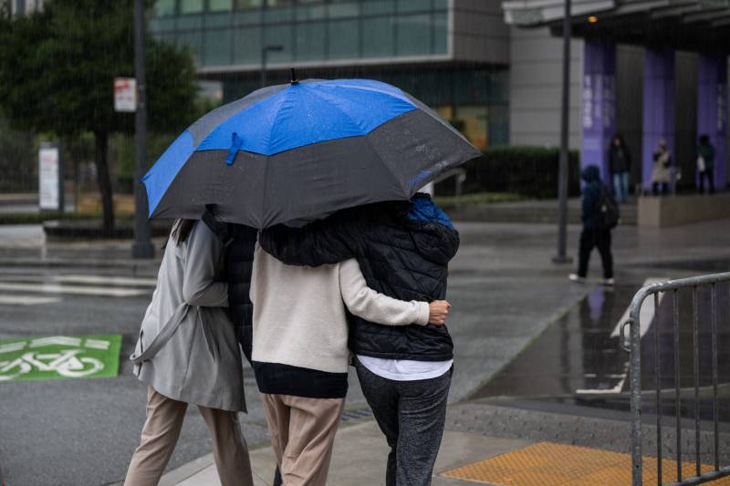
After Bay Area residents experienced a record-setting March heat wave this week, a sudden weather whiplash is set to mark an indefinite return to gloomy skies and cool spring showers starting Wednesday.

Temperatures across the North Bay and into San Francisco are expected to dip below seasonal averages this week, sitting somewhere between the high 50s and low 60s — a 15- to 20-degree drop from the highs of Monday and Tuesday. Residents in the rest of the Bay Area, particularly the inland regions, can expect slightly warmer temperatures ranging from the mid to high 60s.

“After warm conditions on Monday and Tuesday, we have returned to an unsettled pattern,” said Roger Gass, a meteorologist with the National Weather Service’s Bay Area office. “We’re not expecting a return to warm temperatures. It’s going to stay generally cool through the forecast period.”

Sponsored

The heat wave set daily high temperature records, including Tuesday’s highs of 90 degrees in Livermore, which broke a record of 82 set in 1997, and 84 degrees in San José, which tied a record set all the way back in 1930. The momentary rise in temperature, surging into the 80s and low 90s across the Bay Area, was caused by high-pressure systems hanging over the region, Gass said.

However, as a moisture-rich marine layer and low-pressure troughs begin to settle in the area, meteorologists expect rain in the North Bay and light precipitation south of the Golden Gate starting Wednesday.

Little to no rainfall is expected for the Central Coast, and the highest rainfall totals are likely to be in the coastal ranges of Sonoma and Napa counties and Marin County.

Inconsistent weather patterns are expected to persist into next week, Gass said. An atmospheric river is approaching the region and is expected to settle in the Bay Area by the middle of next week, bringing with it more fog and drizzle.

The National Weather Service also announced a high surf advisory and beach hazards statement for Pacific Coast beaches beginning early Thursday morning and continuing into Friday. Meteorologists are urging residents to look out for potential rip currents, high breaking waves and other hazardous weather conditions.

The region is in a state of transition, said Rick Canepa, another meteorologist at the weather service. Some inconsistency in weather conditions across the Bay Area is expected as cool air and moisture filters into and around the atmosphere, he added.

“Forecast models can have trouble trying to predict the more precise location of an atmospheric river because just a slight shift over the Pacific makes a difference by the time it reaches the coast,” he said.

The rain starting Wednesday and continuing through the rest of the month will likely be beneficial showers, Canepa said. By early April, however, there’s a chance the changes in atmosphere and a drop in pressure could bring in a stronger storm system with heavier rains and winds in certain areas. As the spring season continues, it will get more tricky to forecast exact weather, he said.

Bay Area residents should expect the wet and cold to continue as cloudy conditions persist, he said. It’s likely that swimsuits and flip-flops will have to stay stored away for at least the next few weeks.

lower waypoint
next waypoint