upper waypoint

Late Storms Boost California’s Snowpack, Hitting a 3-Year Streak Not Seen in Decades

Save ArticleSave Article
Failed to save article

Please try again

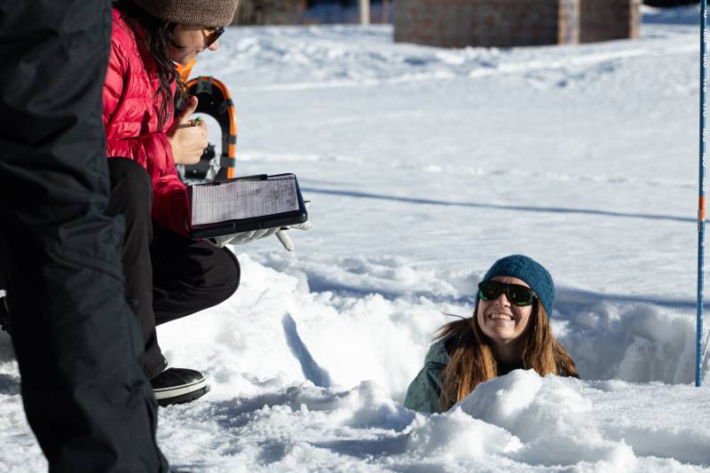
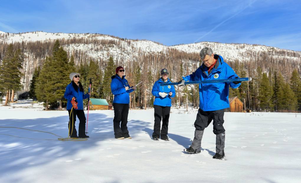
UC Berkeley's Central Sierra Snow Lab, based in Soda Springs in the Sierras near Donner Summit, held a Snow Science School to teach scientists and professionals how to measure snowfall Jan. 15 to 17, 2025. California’s snowpack nears 100% of average for a 3rd year in a row, boosting the state’s water supplies, but spring warming threatens rapid melting.  (David M. Barreda/KQED)

After a boost from late-season storms, the California snowpack is coming into April at nearly 100% of average for the third year in a row — a streak that hasn’t happened since the end of the 1990s, according to state climatologist Mike Anderson.

Farmers and cities across the state rely on this frozen reservoir for water supplies as the snowpack melts in spring and summer.

Across the northern Sierra Nevada and southern Cascade peaks, the snowpack is at 118% of the historical April 1 average; it’s 91% and 84% in the central and southern Sierra, respectively. Statewide, it sits at 96% of average.

Sponsored

“Snow-wise, we’re in pretty good shape,” said Andy Reising, manager of snow surveys and water supply forecasting for the California Department of Water Resources. “There were some indicators that we might have a dry year, but fortunately, the storm windows have stayed open and given us a good boost in February and March.”

The last three years of wet winters might have something to do with human-caused climate change, Anderson said, because “in a warmer world, the atmosphere has more energy to work with. We see these weather patterns kind of having a little more kick.”

Reservoir levels statewide, meanwhile, are mostly above average. Lake Shasta, the state’s largest reservoir and part of the federal Central Valley Project, is at 113% of its average capacity for April 1. Lake Oroville, the biggest reservoir within the State Water Project, is at 121% of average.

“The reservoirs are functioning as intended to kind of have a little bit of a buffer and then work with what Mother Nature provides each year,” Anderson said.

Over the next two weeks, the federal Climate Prediction Center forecasts below-average precipitation across California. Anderson’s larger worry is that the snow could melt quickly during potentially warm to extremely warm periods forecasted for later this spring and early summer. In turn, that rapid snowmelt could cause grasses to grow quickly, leading to fuel for early season grass fires.

Cooler temperatures, on the other hand, would allow for a more moderate rate of snowmelt that would feed reservoirs without overwhelming them or leading to overgrowth of grasses.

“As we have longer days, that means more opportunity for more energy to move into the pack, getting it ready to melt,” Anderson said. “The longer we stay above freezing, the more opportunity for that water to start moving through the watershed.”

Andrew Schwartz, director of the UC Berkeley Central Sierra Snow Lab, said all the snow over the last week has created the perfect conditions for winter sports enthusiasts in the Lake Tahoe area.

“If you’re a skier or snowboarder, I encourage you to get up here because conditions are fantastic,” Schwartz said.

He expects the snowpack to grow even more in the coming days as a storm continues to pelt the Sierra with as much as another foot of snow.

“We’re sitting pretty good without a huge amount of deficiency; warm temperatures are the big concern now,” Schwartz said.
lower waypoint
next waypoint