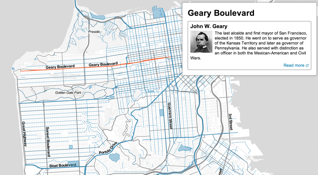
In San Francisco, we have a lot of streets with no-nonsense names, like Pine, 3rd Street and Broadway. But what about Geary? Divisadero? Castro? Do you know what they’re named for?
There’s a map for that.
A new interactive map from Noah Veltman, a Knight-Mozilla OpenNews Fellow at the BBC, gives the history behind the names of San Francisco’s streets and parks. If you’re interested in San Francisco history in the slightest, this map is a goldmine.
“It’s a very interesting window into the layers of San Francisco history,” Veltman said. “You have the mission era, the gold rush, railroad tycoons,” and many others represented in the city.
See the interactive map here. It lets you filter by categories and neighborhoods, or you can type in a place of interest.

Veltman said worked on the map for two months. He used Open Street Map, an open-source depository of world map data, and he designed and built the map himself.
