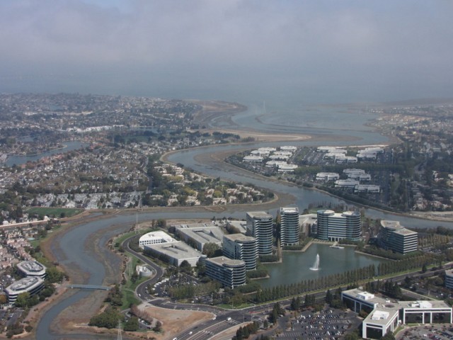
Rising seas will likely lead to unprecedented flooding along parts of California’s coast within 20-60 years, according to new research by Climate Central.
Driven by climate change, global sea levels have already risen several inches over the past century.
To help people learn about flooding risks in their communities, Climate Central has released a new version of an online tool that explores flood risks by zip code.
Using an interactive map, Bay Area residents can zoom in on their region to find out if flooding will impact their homes as well as nearby schools, power plants, and hospitals. The “Surging Seas” website includes an interactive map, graphics, and other information to help people better understand the potential risks of sea level rise.
The online tool also highlights who will be affected by severe flooding. Ngoc Nguyen of New America Media, which collaborated on the interactive tool, says that low-income and communities of color will be most impacted by sea level rise. “We found that communities are responding, but there is a dangerous information gap about sea level rise and policies to address it among impacted ethnic communities,” says Nguyen.