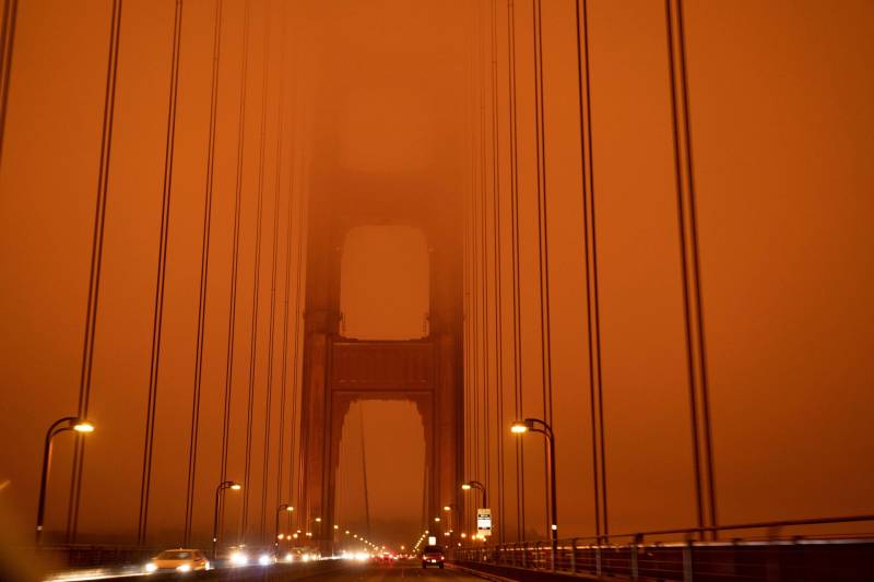
Over the past five years, as California wildfires increased in both intensity and scope, fall in the Bay Area has meant skies intermittently shrouded in smoke.
This season, my morning routine has not only included caffeine and email, but also checking outdoor air quality.
The number and color flashing to life on my phone, also known as the Air Quality Index, dictates to some extent how I’ll go through the day. It determines if my kid’s school will be open, how long I can take the dog out, and whether I’ll keep my windows sealed.
So … what actually is the air quality index?
AQI, Who Am I?
The Air Quality Index (AQI) is the Environmental Protection Agency’s way of representing the amount of pollution in the air.
The higher the number, the more air pollution, and the worse for your health.
The AQI is divided into six color-coded categories, starting with green, which means air quality is healthy enough for everyone to be outdoors. The index then moves through, in increasing order of pollution, yellow, orange, red, purple and maroon. Maroon is equivalent to an AQI of more than 300, indicating a health emergency in which the air is hazardous for everyone to breathe.
Bay Area locations have hit high AQI levels for weeks at a time in recent years, even when they’re more than 100 miles away from a particular wildfire.
Here are some good thresholds to keep in mind:
- An AQI above 100, categorized as “orange,” means everyone should be mindful of air quality, says Juan Romero, spokesman for the Bay Area Air Quality Management District. At these levels, the air can be unhealthy for sensitive groups such as children, the elderly, pregnant women and people with lung disease. It’s important to check in with your doctor and follow their recommendations related to air quality exposure if you’re in one of these groups.
- An AQI above 150, designated “red,” means everyone should limit outdoor activities.
- An AQI above 200, or “purple,” is the point at which the air district suggests all people stay inside.
How is AQI measured?
The Air Quality Index is calculated through measuring six major pollutants: ozone, carbon monoxide, nitrogen dioxide, sulfur dioxide, and two sizes of particulate matter, known as PM2.5 and the slightly larger PM10.
The major sources of air pollution in the Bay Area are ozone and fine particulate matter, or PM2.5. PM2.5 is tiny, with a diameter of 2.5 micrometers or smaller. For a sense of scale, visualize it would take about 25 of these particles to span the width of the average human hair.
We often see higher concentrations of ozone in the warmer months, typically between April and October. Ozone comes mostly from sources of “smog,” such as emissions from cars, trucks, refineries, construction sites and gas stations. While ozone is produced year-round, it builds up more during the longer, hotter days of summer.
Ozone pollution can worsen respiratory irritation and asthma. Some studies link prolonged exposure to ozone to an increased risk of kids developing asthma.
We often see more pollution from PM2.5 in the cooler months of November through February, due to burning firewood. But we also see this pollutant more now during the heart of wildfire season.
This miniscule pollutant can go deep into the lungs and bloodstream and cause lung and heart disease.
What’s Spare the Air?
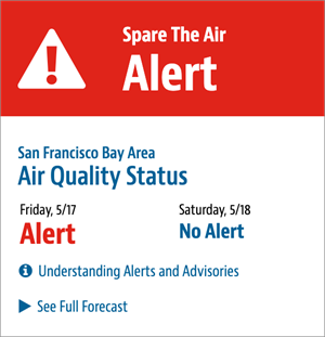
The air district converts pollution measurements into the AQI scale, and if concentrations of any of the six pollutants used to measure AQI is expected to exceed 100 somewhere across the Bay Area, it calls a Spare the Air Alert for the entire region. That’s because cutting back on emissions in one location can impact the air miles away.

If the Spare the Air Alert is called due to ozone, the air quality district will recommend driving less to reduce emissions.
If the alert is called due to high concentrations of PM2.5, it becomes illegal to use fireplaces and other wood-burning stoves in the Bay Area.
It’s also helpful, but not required, to eliminate activities such as lawn mowing, leaf blowing and barbecuing on Spare the Air days.

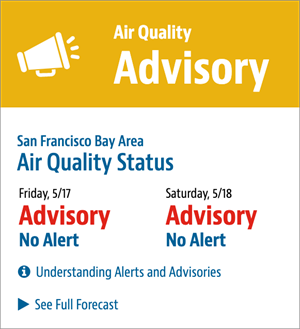
The air quality district also issues air quality advisories, which can be a precursor to an alert. Advisories are often issued when there’s smoke way up in the air, too high for it to pollute the air we breathe on the ground.
How can folks stay up to date on AQI?
You can check KQED’s air quality map or the AirNow Fire and Smoke Map, which combines government and commercial sensors like those that show up on PurpleAir’s map.
You can also sign up for alerts from the air quality district. You can even pick your favorite form of communication: text, phone call, email, or social media.

