upper waypoint

Heat Dome Returns Over the Bay Area, Expected to Intensify Next Week

Save ArticleSave Article
Failed to save article

Please try again

From left, Jordan Dewitt, Quinn McKee and Mason Dewitt enjoy the spray grounds at Prince Gateway Park in Santa Rosa as the temperature reached 100 degrees on July 11, 2024. (Gina Castro/KQED)

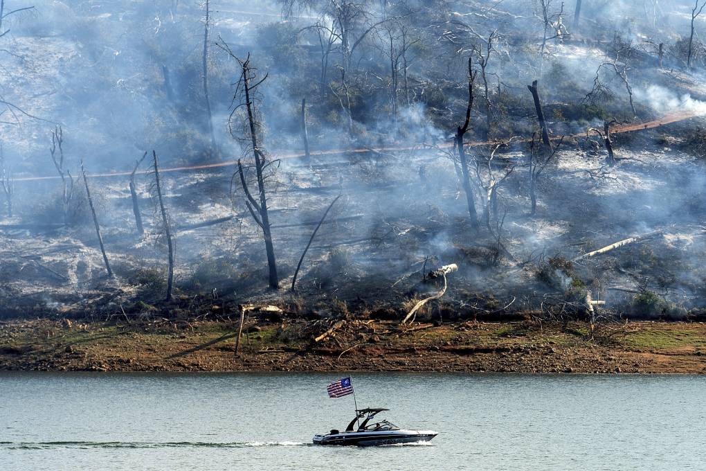
Remember that record-breaking heat wave that brought triple-digit temperatures over the Fourth of July? It’s back — kind of — according to the National Weather Service, causing warmer than usual weather across the inland Bay Area over the next few days.

“It’s not going to be as strong as it was; it’s slowly been losing some steam, but it’s moving back toward us,” said Dylan Flynn, a meteorologist in the weather service’s Bay Area office.

The early July heat wave was caused by a heat dome — an area of high pressure that traps hot air, often for an extended period. That phenomenon is expected to return Thursday, driving temperatures in the inland, elevated portions of the North, East and South Bay counties into the 90s and low 100s late this week. A heat advisory in these areas is in effect from Thursday morning until late Friday night, when cooler weekend temperatures will arrive.

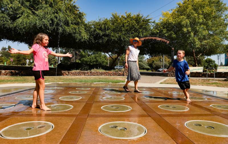
San Francisco and Oakland will peak in the high 70s and low 80s Friday and remain in the low 70s through the weekend.

Sponsored

On Saturday, the pressure dome is expected to weaken thanks to a disturbance in the jet stream, offering the Bay Area a short reprieve. Temperatures will be average for mid-July on Saturday and Sunday before the heat is expected to return late Monday, bringing highs five to 10 degrees warmer next week.

Tuesday and Wednesday will be the hottest days, and will be warmer than previously anticipated, the National Weather Service said. San Jose and Santa Rosa are forecast to hit the mid-90s, while Concord will likely reach triple digits midweek. Flynn expects another heat advisory to be in effect, at least in the first half of the week.

San Francisco will be in the high 70s, and Oakland could break 80 degrees on both days.

The marine layer will keep the coast relatively cool throughout, but Santa Cruz south and Point Reyes north will heat up to the mid-80s on the hottest days of the heat wave.

The central span of the Bay Area coast will stay fairly cool thanks to the usual marine layer, which brings early morning foggy conditions and a welcome breeze, so Flynn said the beach is a good bet to get out of the heat.

He warned that there could be increased fire risk — especially on Thursday and Friday — as strong winds pass through the North Bay, as well as Monterey and San Benito counties.

“We’re not expecting an issue of red flag warning, but there are elevated fire concerns, especially in the afternoon and early evening in those locations,” he told KQED. “I just want to encourage people to not be the cause of the spark. Be careful, and obey all fire restrictions.”

lower waypoint
next waypoint