upper waypoint

Another Earthquake, 4.7 Magnitude, Rattles Bay Area

Save ArticleSave Article
Failed to save article

Please try again

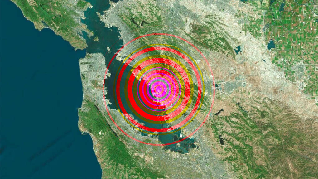
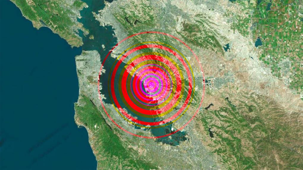
A magnitude 4.5 earthquake struck near Pleasant Hill and Walnut Creek at 10:33 p.m. on Oct. 14, 2019. (U.S. Geological Survey)

Update Tuesday, Oct. 15, 3:35 p.m.:

In less than 24 hours, people in the Bay Area felt jitter-inducing shakes from a series of earthquakes.

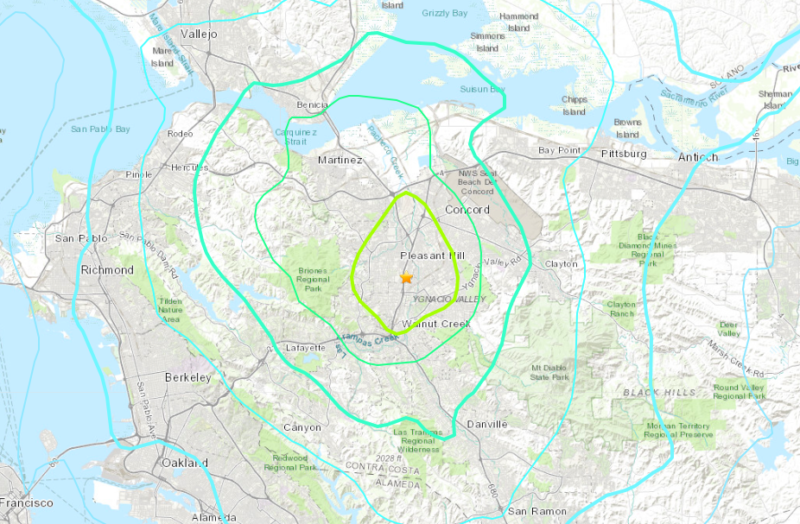
Late Monday, a 4.5 magnitude quake jolted the region. The epicenter was near Pleasant Hill in the East Bay, according to the U.S. Geological Survey.

Then on Tuesday afternoon, a 4.7-magnitude quake rumbled east of the Salinas Valley near Hollister in San Benito County.

The shaking was enough to raise people’s blood pressure all over the Bay Area. But does it forecast something larger?

In January, KQED Science detailed that a series of small quakes does not necessarily mean the Big One is close at hand.

An earthquake of any size could be a foreshock, said Roland Burgmann, a UC Berkeley geologist.

“That does mean that the probabilities are higher, whenever there is an earthquake, of a larger one,” he said. “But, as best we know, there isn’t a particular magnitude range that would make us more or less worried.”

With both quakes, the U.S. Geological Survey estimated a 2% prospect of a similar sized or bigger quake in the area during the next week.

While the chance of a big temblor is higher than usual, it is by no means imminent, Burgmann said.

Pleasant Hill Quake

The epicenter of Monday’s quake was a few miles west of the Concord fault and north of the Calaveras fault, USGS reported.

Small earthquakes are common near Pleasant Hill, an area with complex geology and many small, unmapped faults.
Are You Ready for a Disaster?

Here’s why: the slip of the Calaveras fault — the movement, or in geologist speak, the relative displacement between two formerly adjacent points on opposite sides of a fault — is shifting to the Concord fault, said David Schwartz, a scientist emeritus with USGS.

“One hopes that this is just the little patch going, a few aftershocks, and then things will taper off and be quiet again,” Schwartz said. “A large earthquake could occur at any time, but it is more likely to occur on one of the major faults.”

“In the Bay Area, there are literally thousands of these fault patches,” he added. “Every once in a while, the faults are stressed enough that they slip and produce these small earthquakes.”

Original Post: Days before the 30th anniversary of the Loma Prieta earthquake, Bay Area residents were shaken by a 4.5 magnitude quake that struck at 10:33 p.m. Monday night near Pleasant Hill and Walnut Creek.

The earthquake had a depth of nearly 9 miles and hit 2.2 miles west of the Concord Fault. A 2.5-magnitude quake struck in a similar area about one minute earlier.

Loma Prieta Coverage

The stronger quake caused malfunctions at the Shell and Marathon oil refineries in Martinez, said Randy Sawyer, Contra Costa County’s chief environmental health and hazardous materials officer.

Marathon refinery workers are “working to assess [the] integrity of equipment to ensure a safe start and return to normal operations,” said Marathon Petroleum spokesperson Brianna Patterson. The malfunction led to a community warning for Contra Costa County, she said, but there were no known spills or other releases.

Operations at the Shell refinery have resumed, though some equipment was temporarily affected by the quake, said refinery spokesperson Ray Fisher.

There have been no reports of injuries from the refinery malfunctions or the earthquake itself.

The USGS reported the quake may have been felt as far away as Chico and Fresno, and the shaking was strong enough to knock products off of their shelves at some Bay Area stores. Here is where you can report if you felt the earthquake.

Bay Area residents took to Twitter Monday night to react.

BART experienced 20 minutes delays as trains ran at reduced speeds to complete track inspections.

No tsunami threat went into effect, according to the San Francisco Bay Area National Weather Service.

Below is an interactive map of the Bay Area, where you can view the location of the quakes.

Sponsored

lower waypoint
next waypoint